
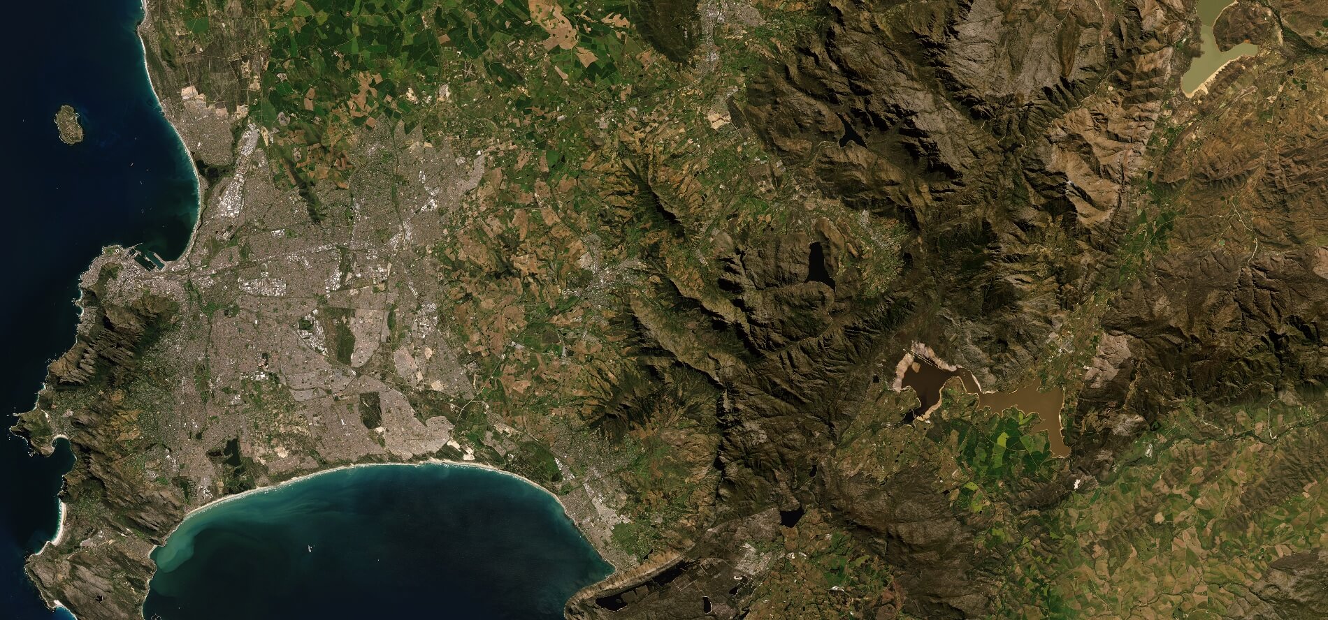
New satellite imagery for web-based mapping, visual simulations, weather maps, defense applications, digital media and more
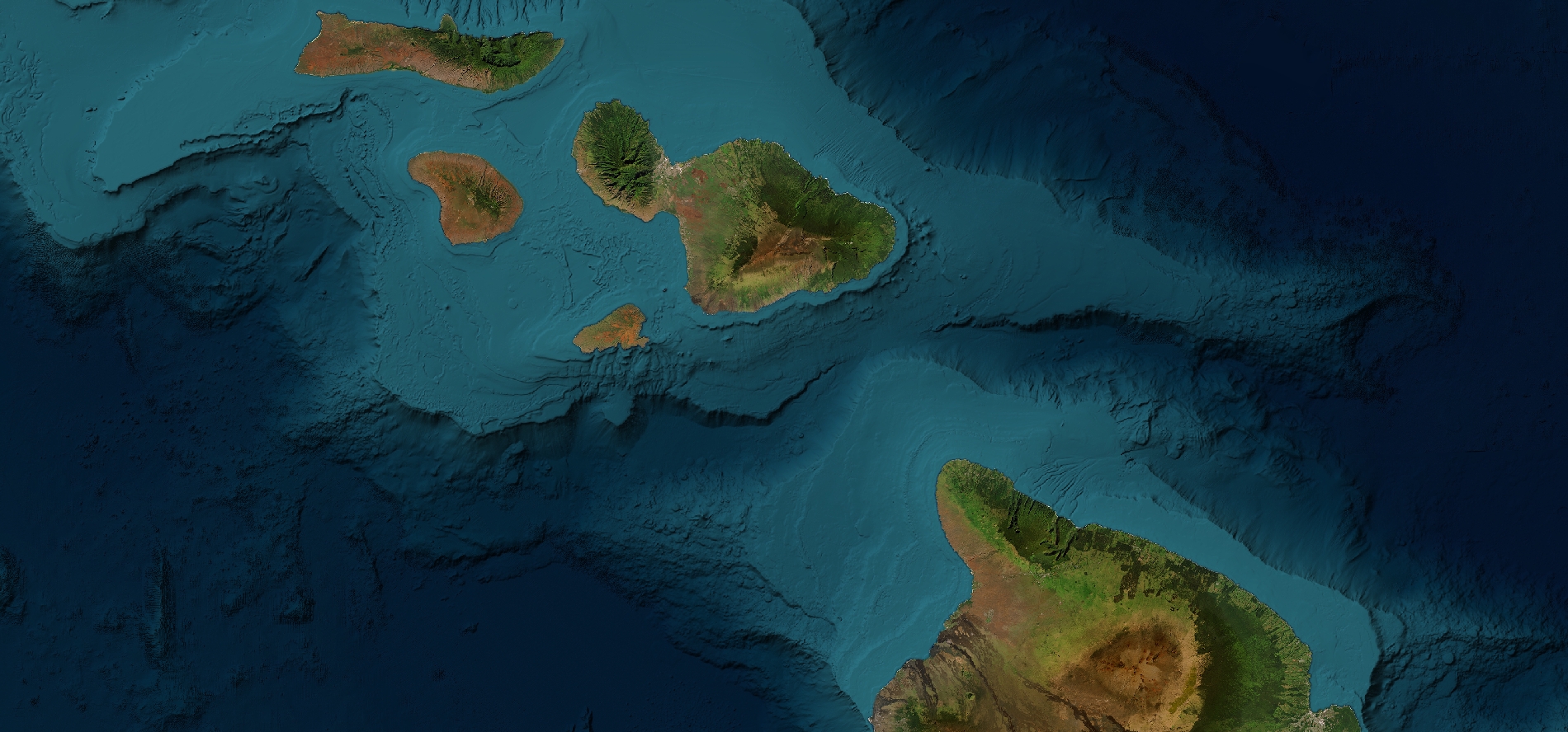
Seamless global coverage with no gaps or holes and a variety of customization options - ideal for public or private virtual globes
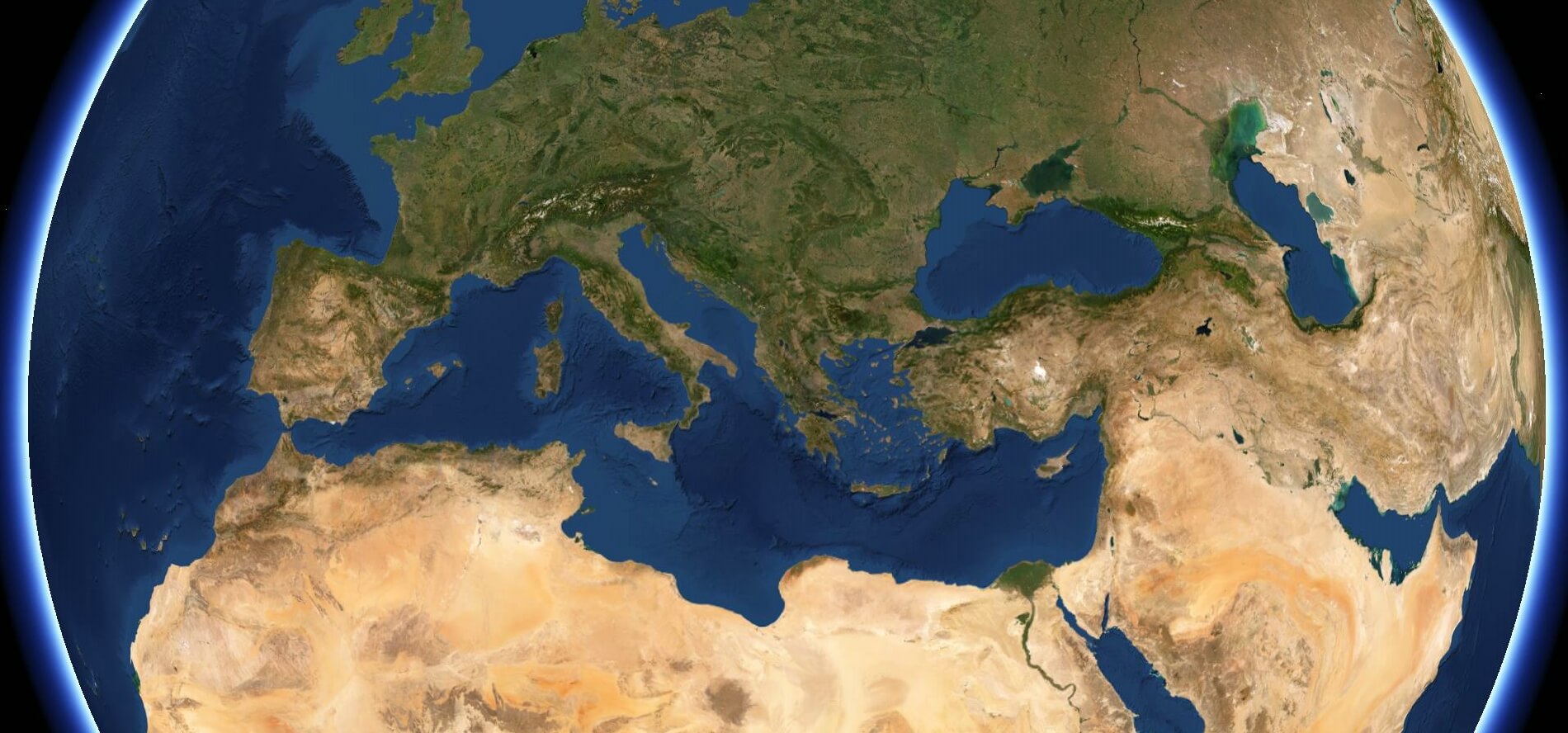
Stunning true color imagery for the most realistic views of our beautiful planet and a great pairing with high resolution imagery
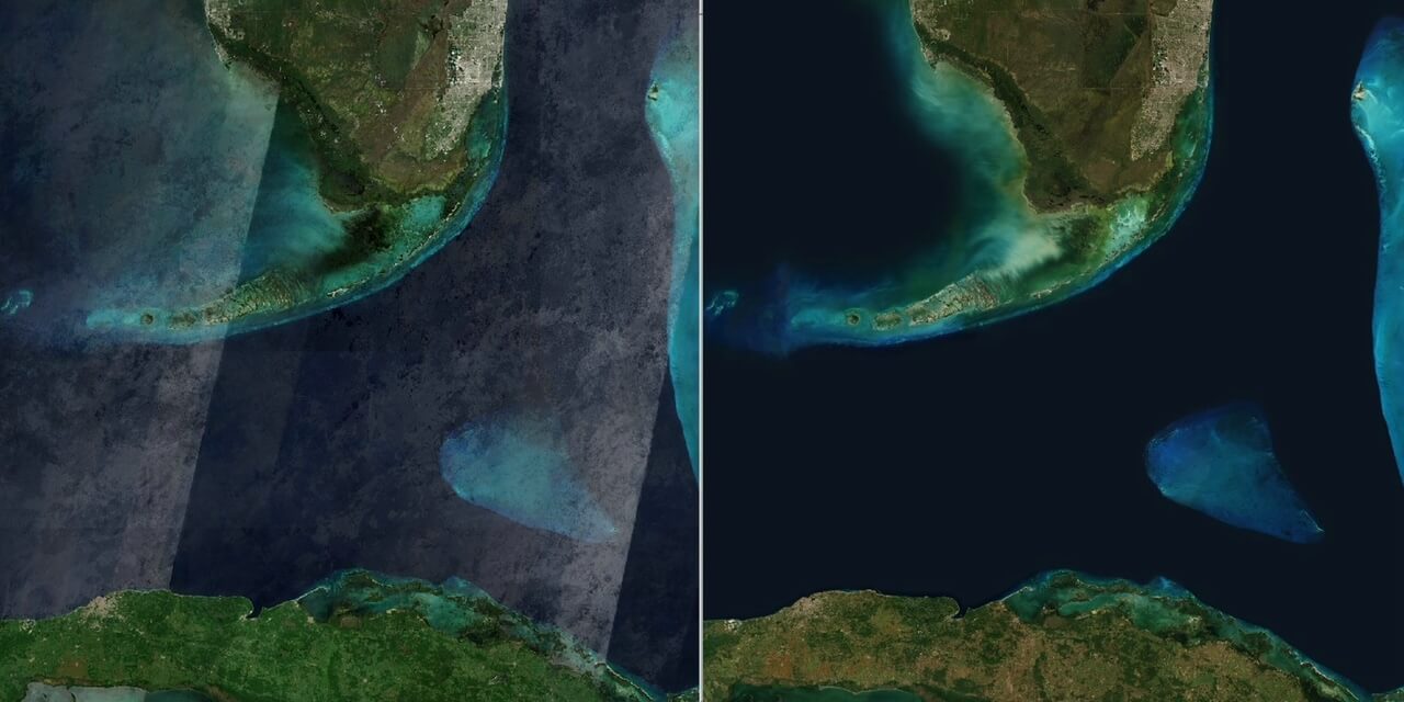
Need updates? We refresh areas with brand new Landsat 8/9 imagery (or Sentinel-2 imagery for our 10-meter version) - contact us to explore the options
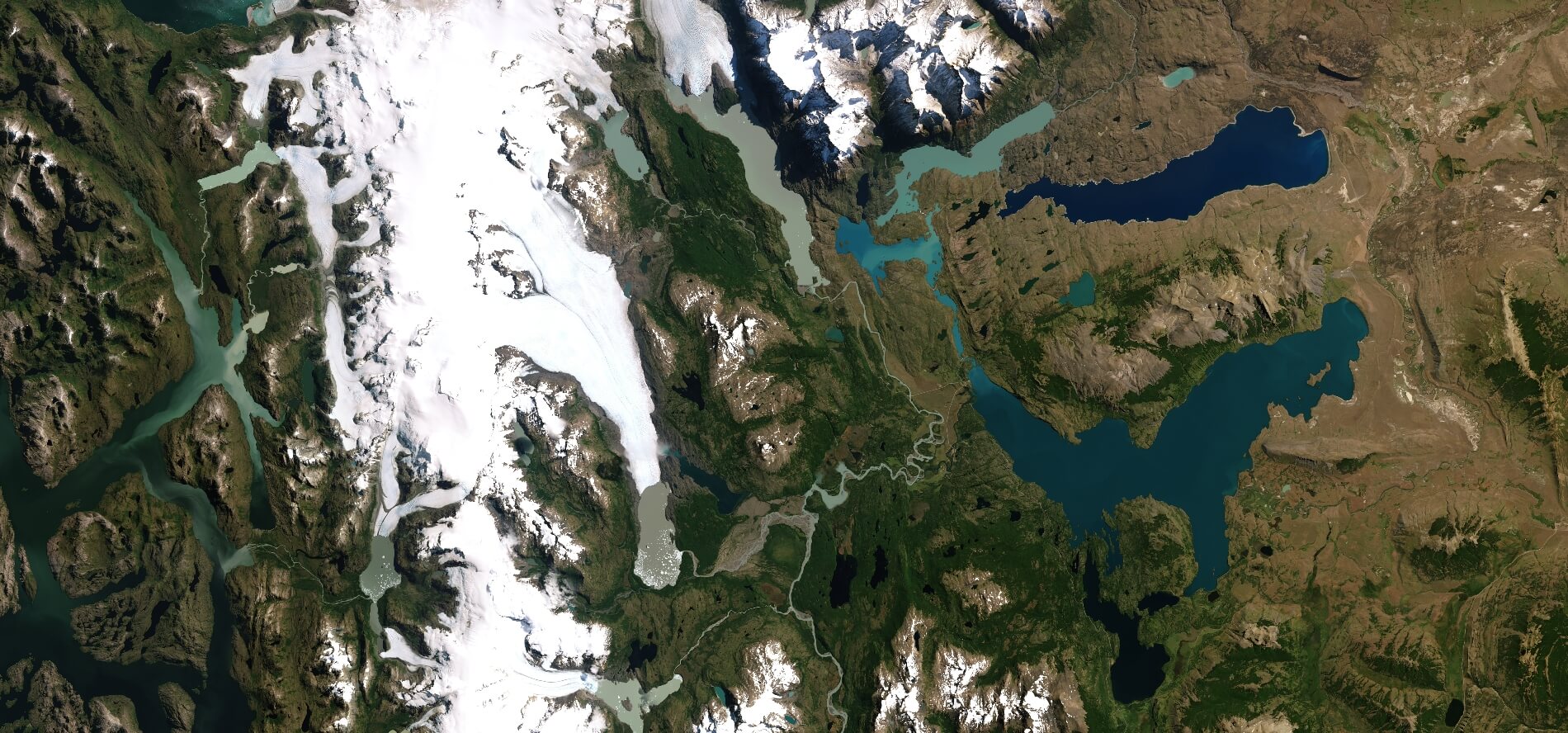
Need images for special applications? We can create a wide variety of custom images tailored to your needs
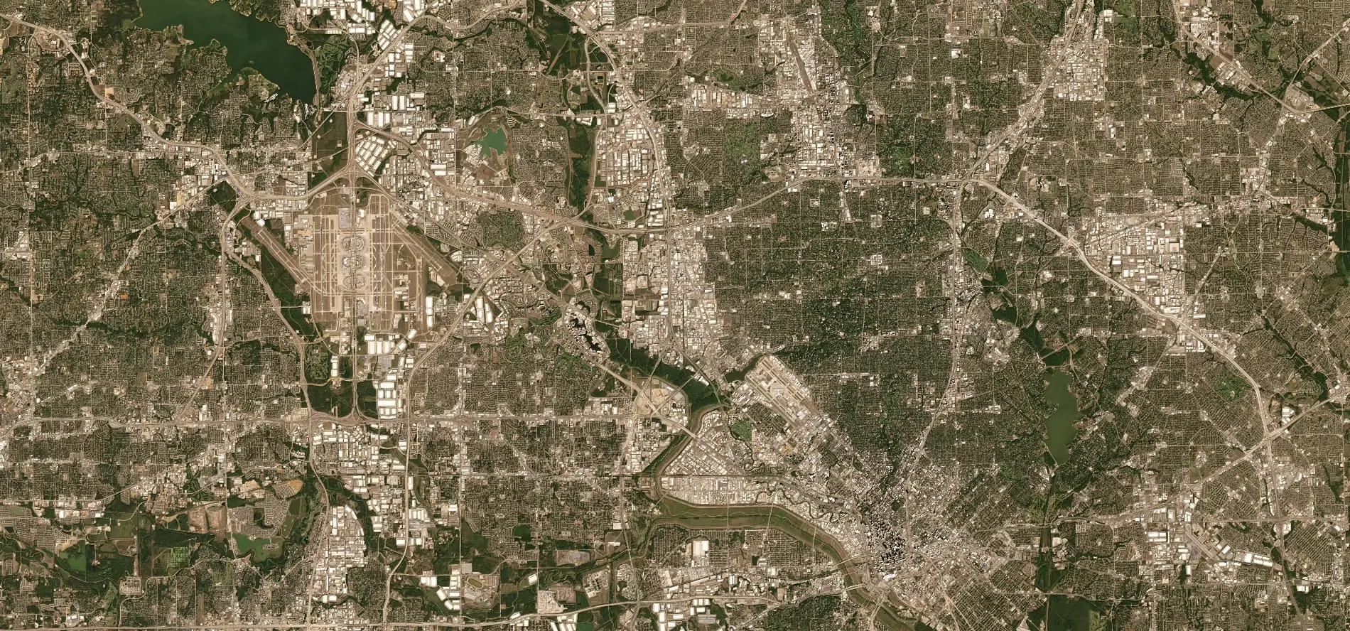
Want to learn more about how NextGen's quality, features, and high level of finish set it apart from other products?
Earthstar Geographics LLC
San Diego, California, USA
Global Satellite Imagery Solutions
Started in 1995, Earthstar Geographics offers a wide range of experience and expertise in satellite remote sensing and related technologies. We are a leading content provider for the global geospatial data market, with an extensive international client base. We are proud to offer reduced pricing to qualified educational and non-profit clients.