Camel
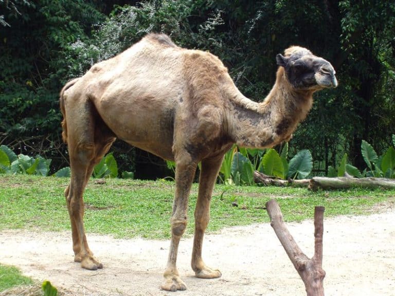
Humps of fat, miles of grit
 |
VOOZH | about |
Humps of fat, miles of grit
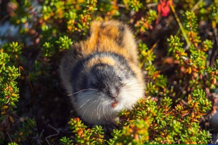
Small rodents, huge tundra impact
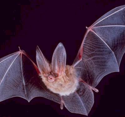
Night pilots of the mammal world
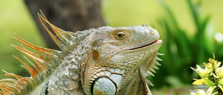
Sun-powered lizards of the Americas
Moon-marked climber of Asian forests
Webbed feet, world travelers.
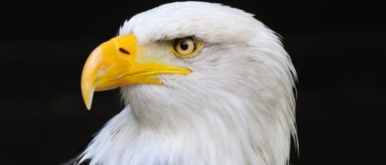
Built to soar, born to strike
From geckos to dragons-lizard power
The rainforest's master gardener
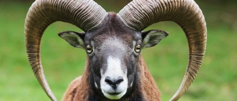
Goats: nimble browsers, global helpers
Hilly terrain consists of a landscape of numerous hills with moderate, recurring elevation changes and generally rounded slopes, lacking the steep relief and high elevations typical of mountainous areas.
Hilly landscapes are shaped by repeated rises and dips in elevation that create a rolling topography. Slopes are typically rounded rather than sharply rugged, and the relief is moderate-enough to influence travel, land use, and visibility without the dramatic verticality of mountains. Hills may occur as broad uplands dissected by streams, as low ridges and knolls, or as undulating countryside formed by long-term erosion, deposition, or glacial processes.
The continuous variation in slope, aspect, and elevation produces distinct microclimates: ridge tops tend to be windier, drier, and more exposed, while hollows and valley bottoms are often cooler, moister, and more frost-prone. Drainage patterns are similarly varied, with water shedding quickly from convex crests into converging swales and small valleys, creating a patchwork of soil moisture conditions. This topographic diversity supports a mosaic of habitats across ridges, slopes, and sheltered depressions, often leading to high ecological and land-use variability over short distances.
~200-900 m above sea level (region-dependent), with local relief commonly ~50-300 m between ridge tops and valley bottoms.
Can occur from near sea level coastal hill country to >1,500-2,000 m in upland hill belts; local relief may exceed ~400-600 m where hills grade toward mountains or where valleys are deeply incised.
Generally rounded, convex ridge crests with concave-to-straight midslopes and gentler footslopes. Typical slopes ~5-20°; steeper segments (~20-35°) occur on valley sides, road cuts, or where more resistant strata crop out. Aspect strongly influences moisture and temperature, creating pronounced microclimates across opposing slopes.
Forms through long-term erosion and dissection of uplifted or gently tilted bedrock (tectonic uplift, broad warping) combined with fluvial incision and mass wasting that round and lower relief over time. Commonly developed on resistant-moderate strength rock layers or consolidated sediments; glacial sculpting can leave hummocky hills, and differential weathering creates alternating ridges and swales. Drainage evolution (headward erosion, stream capture) produces branching valleys and rolling interfluves.
Moderately stable overall but dynamically shaped at fine scales. Slow processes (soil creep, rill erosion) are continuous; episodic events (gully growth, shallow landslides, debris flows) occur during intense rainfall, rapid snowmelt, wildfire-following storms, or where vegetation cover is removed. Drainage networks can adjust over decades via headcutting and bank erosion.
Generally moderate to good for wildlife: rounded slopes and frequent habitat transitions aid movement and foraging, though traversability varies by slope angle, vegetation density, and ground wetness. Ridges and spurs often provide easy travel corridors; hollows may be brushy or seasonally waterlogged; steep valley sides, talus pockets, and eroded gullies create local barriers and funnel movement along contours or ridgelines.
Rubbery, split hooves with grippy pads and sharp edges for traction and edging on steep, uneven slopes.
Excellent balance and powerful legs for rapid climbing and controlled descents on rugged hillsides.
Long, springy legs and bounding gait (stotting) for efficient movement over rolling, uneven terrain and quick uphill escape.
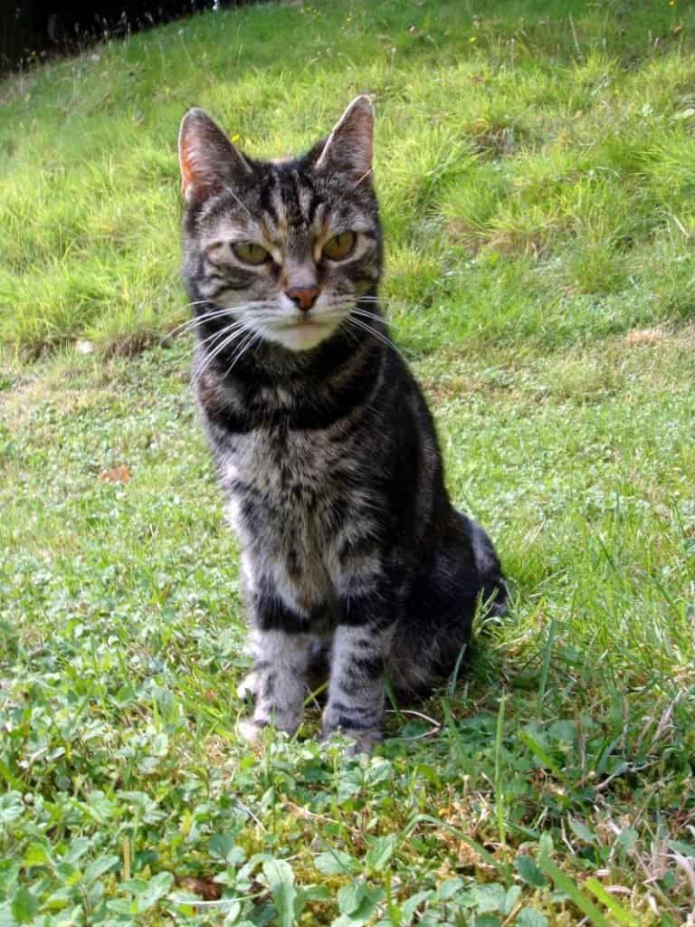
Light, agile frame and flexible gait for contour-running along slopes and switching between ridge and hollow hunting areas.
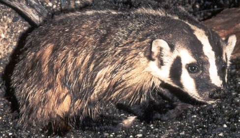
Strong digging limbs to create setts in well-drained banks and hillsides, using slope soils for stable burrows.
Powerful build and tough hooves for pushing through brush and climbing muddy slopes while foraging across microhabitats.
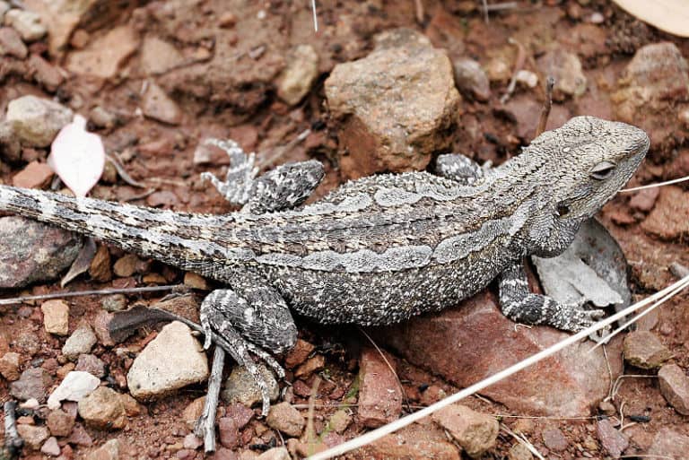
Rock-slope agility and use of crevices on hilly talus patches to shelter from rapid microclimate shifts.
Soaring on ridge lift and slope updrafts to patrol hilly landscapes efficiently with minimal energy use.
The "colder" place at night is often the bottom of the hill, not the top-cold air flows downhill like an invisible liquid and pools in hollows (a temperature inversion).
A breezy ridge can be drier than a nearby valley even if the valley is lower: wind increases evaporation on exposed crests while sheltered hollows stay humid.
You can get wetter soils uphill and drier soils downhill on the same slope: subsurface flow can perch above compact layers, feeding mid-slope wet bands while lower slopes drain more efficiently.
Not all slopes face the same "sun": two hillsides a short walk apart can have very different growing seasons because slope angle and aspect change how much solar energy hits the ground.
Streams in hilly country don't always follow the steepest path you'd expect: small ridges, buried rock layers, and old landslide deposits can redirect water into surprisingly curved or parallel channels.
Hills can reduce flood risk in one spot while increasing it nearby: runoff is shed quickly from slopes but can surge into narrow hollows and small valleys, concentrating flow where you might not anticipate it.
Vegetation patterns can flip your intuition: the greenest strip may be mid-slope (where water accumulates below the surface), while ridge tops and valley bottoms can both be comparatively sparse for different reasons (wind-dry ridges, frost- or waterlogged hollows).
One hillside can hold multiple "climate zones" at once: ridge, mid-slope, and hollow can differ enough in temperature and moisture to rival the contrast you'd expect across many miles of flat ground.
Hilly terrain can create some of the fastest local wind changes: a calm lee-side hollow can sit just meters away from a gusty ridge crest due to hill-top acceleration and wind shadowing.
Rounded hills can still drive dramatic runoff peaks: short, steep-ish slopes funnel water quickly into swales and streamlets, producing rapid "flashy" flows even without mountains.
On sunny days, equator-facing slopes (south-facing in the Northern Hemisphere, north-facing in the Southern Hemisphere) can become among the hottest spots locally, while pole-facing slopes remain comparatively cool-making hillsides local record-holders for daily temperature spread.
Hill-and-hollow drainage can concentrate frost: the coldest minimum temperatures in a landscape often occur not on the highest point, but in low pockets where dense cold air pools.
Hilly mosaics can pack high biodiversity into small areas: the close spacing of ridge-to-hollow habitats can support more distinct plant communities per square mile than many uniform plains.
The rainforest's master gardener
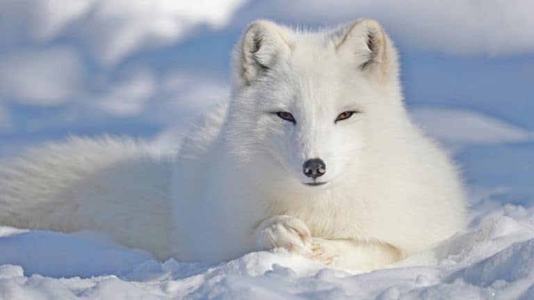
Built for blizzards, born for tundra
Moon-marked climber of Asian forests
Built to dig. Born to endure.
Night pilots of the mammal world
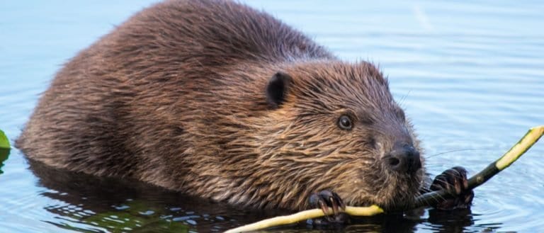
Build wetlands, shape worlds.
Humps of fat, miles of grit
Small hunter, big household legend
One cat. Two continents.
Sure-footed partner of people
Big beard. Bold basker.
Webbed feet, world travelers.
Built to soar, born to strike
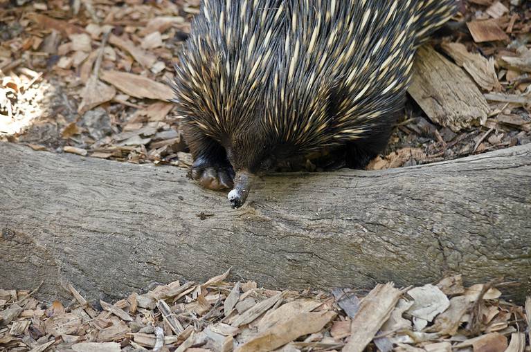
Spines, eggs, and ant-eating mastery
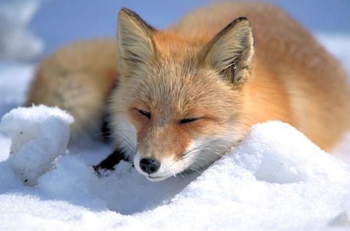
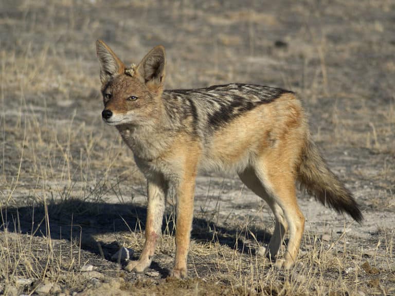
From dunes to tundra-fox smart.
Tailless jumpers, masters of change
Goats: nimble browsers, global helpers
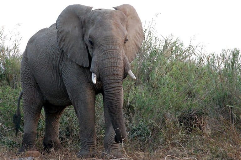
Gentle giants of the African forests
Pouches, burrows, and big impacts
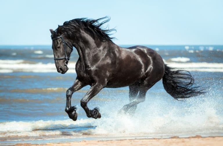
One hoofbeat, a thousand histories
Sun-powered lizards of the Americas
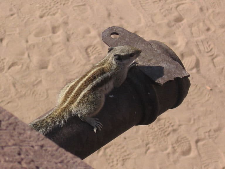
Three stripes. Big city attitude.
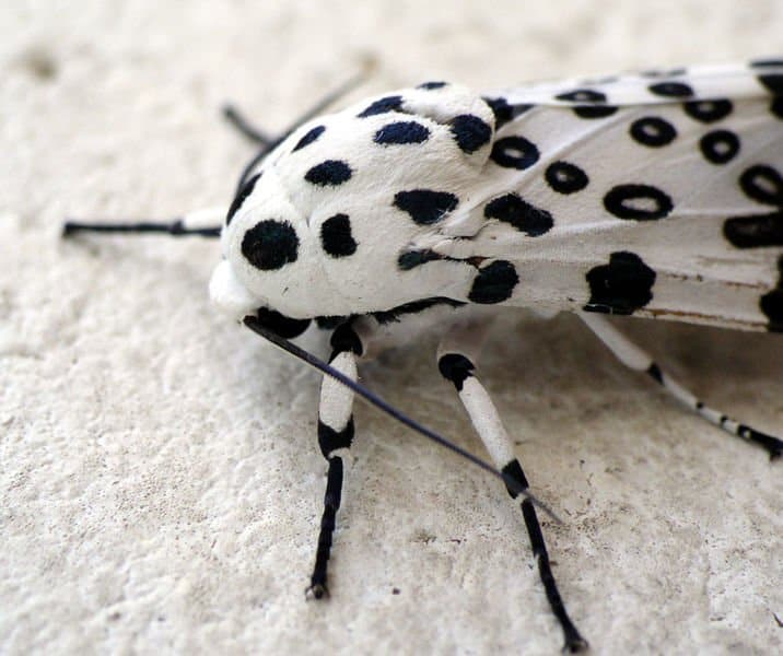
Six legs, endless lives.
Small canids, big survival skills
Thank you for reading! Have some feedback for us?
We appreciate your help in improving our content.
Our editorial team will review your suggestions and make any necessary updates.
There was an error submitting your feedback. Please try again.