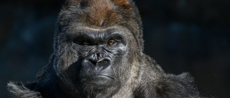
Gorilla
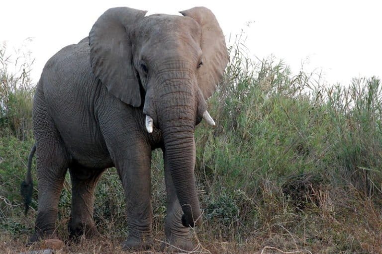
Gentle giants of the African forests
 |
VOOZH | about |
Gentle giants of the African forests
Sure-footed partner of people
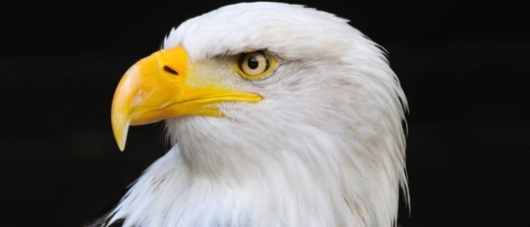
Built to soar, born to strike
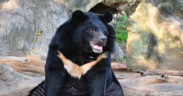
Moon-marked climber of Asian forests
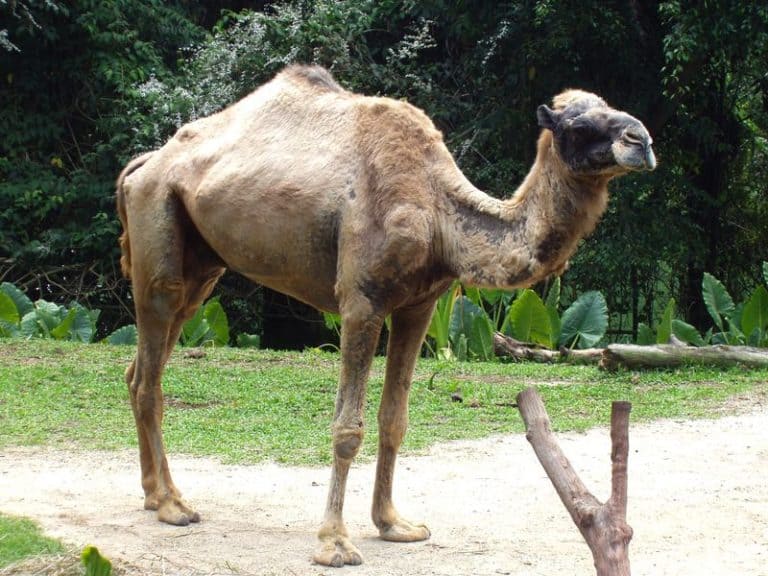
Humps of fat, miles of grit
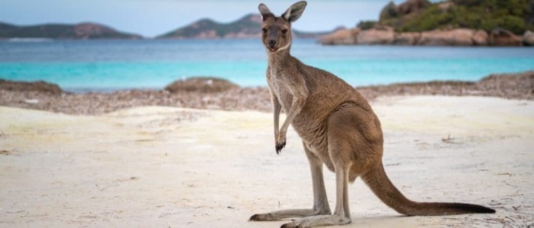
Big hops, big pouches, big variety
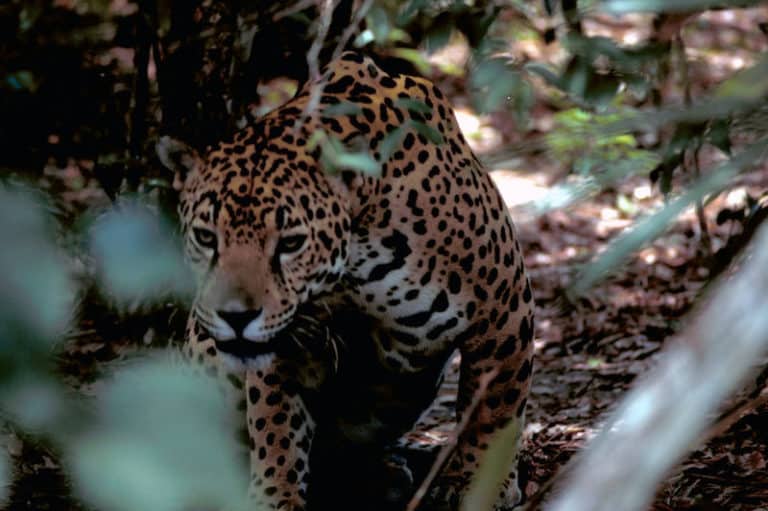
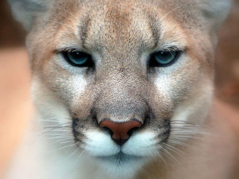
Power of the Americas' apex cat
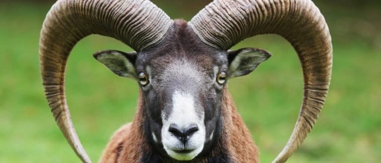
Goats: nimble browsers, global helpers
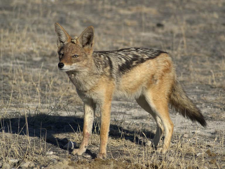
Small canids, big survival skills
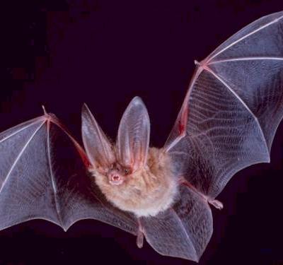
Night pilots of the mammal world
A plateau is an elevated landform with a broad, relatively flat or gently rolling surface that stands above surrounding terrain. It is commonly bordered by steep escarpments or broken up by valleys and canyons.
Plateaus form through processes that create uplifted or resistant high ground, such as tectonic uplift, volcanic lava flows building up layered surfaces, or long-term erosion that leaves a harder caprock standing above more easily worn surrounding rock. Over time, rivers and streams may incise the plateau, carving networks of valleys, mesas, and canyons that dissect the originally continuous surface.
Because plateaus sit at higher elevations and are often exposed, they tend to experience stronger winds, greater temperature swings, and higher solar exposure than adjacent lowlands. Soils are frequently thinner and rockier-especially where erosion is active or bedrock lies close to the surface-though deeper soils can occur in sheltered depressions or where fine material accumulates.
Ecologically, plateau vegetation varies with climate, elevation, and substrate: grasslands and shrublands are common in semi-arid settings, while cooler or wetter plateaus may support sparse woodlands or montane communities. Land use often includes grazing and dryland agriculture where soils and water allow, but constraints such as limited water, erosion-prone slopes along escarpments, and fragmented terrain in dissected plateaus can restrict intensive development.
~500-3,000 m above sea level, depending on tectonic setting (continental interior plateaus often 800-2,500 m; volcanic plateaus commonly 1,000-3,000 m).
Near sea level for coastal/low plateaus (~0-500 m) up to >4,000-5,000 m for high continental plateaus (e.g., the Tibetan Plateau or the Andean high plateau).
Generally low-gradient interiors (often <1-5°) with localized rolling relief; edges commonly abrupt with steep escarpments and cliffs (15-90°) and stepped benches. Dissected plateaus exhibit alternating gentle interfluves and steep valley walls.
Forms through long-term uplift of broad crustal blocks (tectonic uplift, rifting, isostatic rebound) followed by extensive erosion that creates a relatively level surface; can also originate from widespread volcanic outpourings (flood basalts) that build thick, flat-lying lava plateaus, or from sedimentary deposition in basins later uplifted and planed off. River incision and headward erosion commonly dissect plateaus into mesas, buttes, and canyon networks; in arid climates, wind deflation and limited chemical weathering help preserve flat surfaces.
Moderately stable on plateau tops (slow net change where vegetation cover persists), but edges and dissected zones are dynamic: ongoing fluvial incision, cliff retreat via rockfall, occasional landslides on weak layers, and strong wind-driven soil loss where vegetation is sparse. Seasonal freeze-thaw can enhance cracking and block detachment at rims.
Generally moderate to high across the interior where surfaces are open (grassland/shrubland) and slopes are gentle; movement becomes difficult or hazardous near escarpments, canyon networks, talus fields, and heavily gullied/badland sections. Water scarcity and exposure (wind/cold/heat) can constrain wildlife routes, concentrating travel along drainages and gentler saddles.
Specialized rubbery, high-friction hoof pads and strong ankles for gripping steep, rocky escarpments and ledges
Split hooves with rough pads and powerful forelimbs for extreme cliff climbing along plateau rims
Exceptional endurance speed and efficient gait for traversing wide, open plateau grasslands with minimal cover
Large, sensitive ears and bounding gait for navigating broken canyon-and-mesa terrain while detecting predators across open flats
Soaring flight that exploits plateau updrafts and strong winds along cliff edges to hunt over open ground
Use of talus and rock crevices for quick, safe movement and shelter in thin-soil, rocky plateau outcrops
Burrowing in shallow, stony soils and using lookout behavior to spot predators across open plateau landscapes
Tough hooves and efficient locomotion for covering long distances between sparse water sources on arid plateaus
"Flat" doesn't mean "low": plateaus can be higher than many mountain ranges, yet still look level over vast distances.
Plateaus can be made by lava: repeated fluid basalt eruptions can stack into thick, flat-topped layers that create a plateau rather than a classic cone-shaped volcano.
Erosion can create plateaus too: a region can be uplifted and then carved by rivers into a broad, high surface dissected by deep valleys-so "high and flat" can be the end result of being worn down.
Plateau edges often grow the most rugged scenery: the flat interior can be relatively gentle, while escarpments and canyon margins concentrate cliffs, landslides, and dramatic relief.
Thinner soils don't always mean low productivity: in grassland climates, wind-swept plateau soils can still support extensive grazing and hardy, nutrient-efficient plants.
Higher wind exposure can make plateaus feel colder than nearby lowlands at the same temperature forecast, because wind chill is often stronger on open, elevated surfaces.
Plateaus can be wetter or drier than nearby areas depending on airflow: they may squeeze moisture from passing air (orographic effects) or sit in rain shadows-so elevation alone doesn't predict rainfall.
Some plateaus host "sky islands": cooler, isolated highland habitats separated by warmer lowlands, which can drive unique species and high endemism.
Rivers can cut astonishingly deep into plateaus: a plateau's top can remain relatively level while canyons thousands of meters deep form along river routes.
A plateau can look geologically "young" and "old" at once: the surface may be ancient, but the cliffs and valleys can be actively evolving as uplift and erosion continue.
The Tibetan Plateau is the world's highest and largest plateau, averaging well over 4,000 m in elevation-often called the "Roof of the World."
The Deccan Plateau in India is among the world's largest volcanic plateaus, built from immense lava flows (the Deccan Traps).
The Ethiopian Plateau is one of Africa's most extensive high plateaus and contains some of the continent's highest inhabited highlands.
The Altiplano of the central Andes is one of the highest major inhabited plateaus on Earth, supporting large cities at extreme elevations.
The Columbia Plateau (USA) is one of the largest basalt lava plateaus in North America, formed by repeated flood-basalt eruptions.
The Colorado Plateau (USA) is famous for hosting some of the planet's most iconic "layer-cake" rock exposures and deep canyon incision, including the Grand Canyon region.
The rainforest's master gardener
Built for blizzards, born for tundra
Moon-marked climber of Asian forests
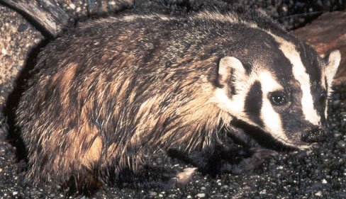
Built to dig. Born to endure.
Night pilots of the mammal world
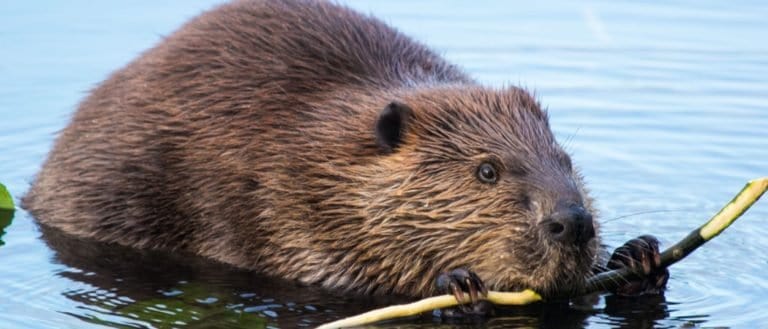
Build wetlands, shape worlds.
Humps of fat, miles of grit
Small hunter, big household legend
One cat. Two continents.
Sure-footed partner of people
Big beard. Bold basker.
Webbed feet, world travelers.
Built to soar, born to strike
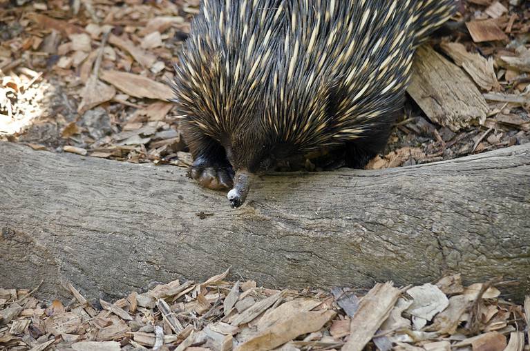
Spines, eggs, and ant-eating mastery
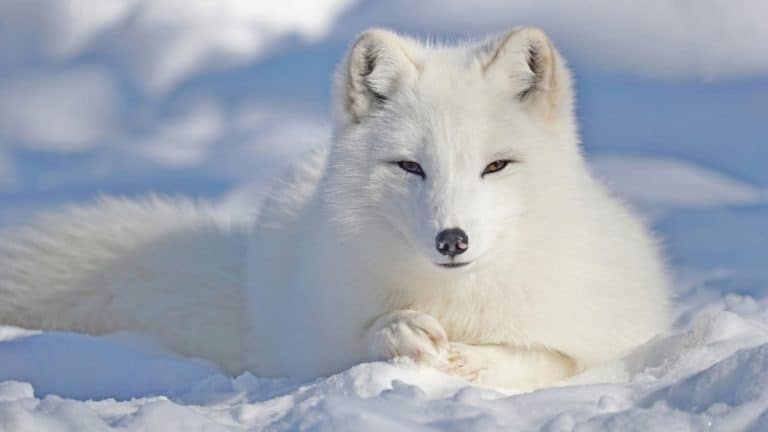
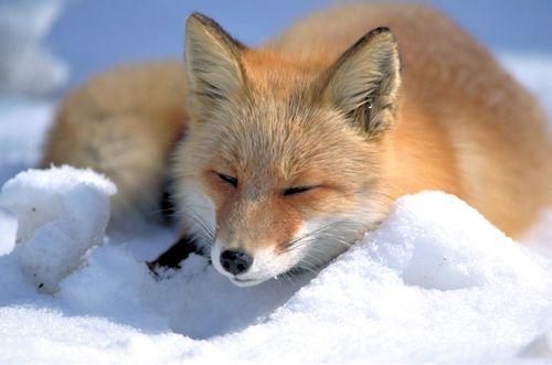
From dunes to tundra-fox smart.
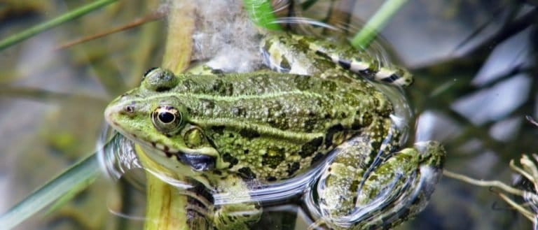
Tailless jumpers, masters of change
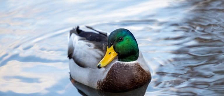
Webbed feet, sky roads, wetland lives
Goats: nimble browsers, global helpers
Gentle giants of the African forests
Pouches, burrows, and big impacts
One hoofbeat, a thousand histories
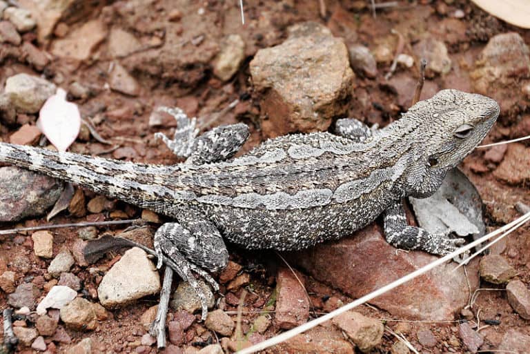
Sun-powered lizards of the Americas
Three stripes. Big city attitude.
Six legs, endless lives.
Thank you for reading! Have some feedback for us?
We appreciate your help in improving our content.
Our editorial team will review your suggestions and make any necessary updates.
There was an error submitting your feedback. Please try again.