
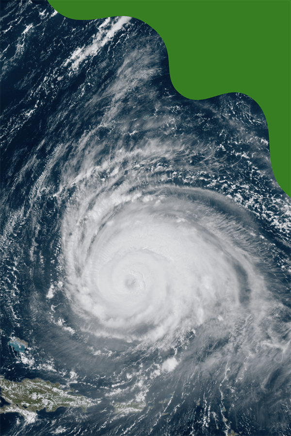
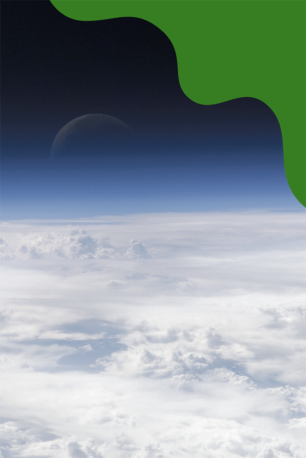
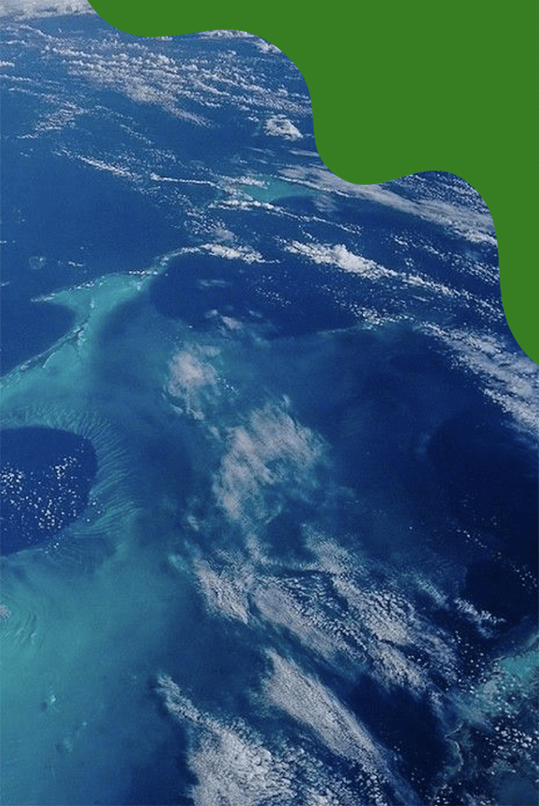
Earth
Since we live here, you might think we know all there is to know about Earth. Not at all, actually! We have a lot we can learn about our home planet.
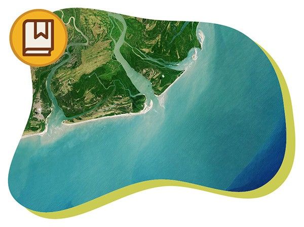
All About Earth
Our home planet Earth is a rocky, terrestrial planet. It has a solid and active surface with mountains, valleys, canyons, plains and so much more. Earth is special because it is an ocean planet. Water covers 70% of Earth's surface.
Learn More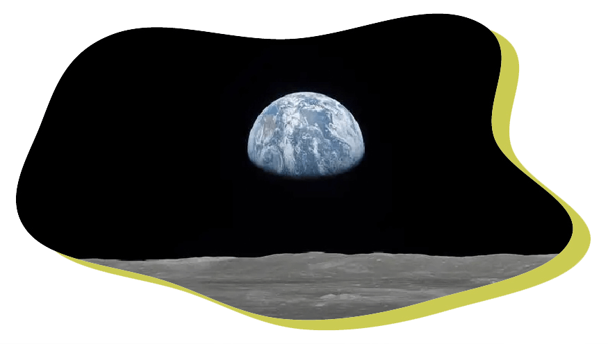
Big Questions
What Is the Greenhouse Effect?
What is the Carbon Cycle?
What Is Climate Change?
How Are Earth’s Ocean and Climate Connected?
Play
Watch
What Is the Greenhouse Effect?
What's the Difference Between Weather and Climate?
What Causes Sea Level Rise?
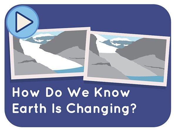
How Do We Know Earth Is Changing?
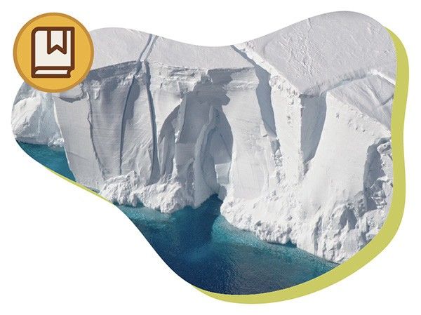
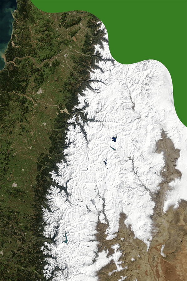
Go Long!
The world's largest glacier is the Lambert-Fisher Glacier in Antarctica. It is approximately 250 miles (400 kilometers) long and 60 miles (100 kilometers) wide. Even small glaciers are about the size of a football field!
Learn More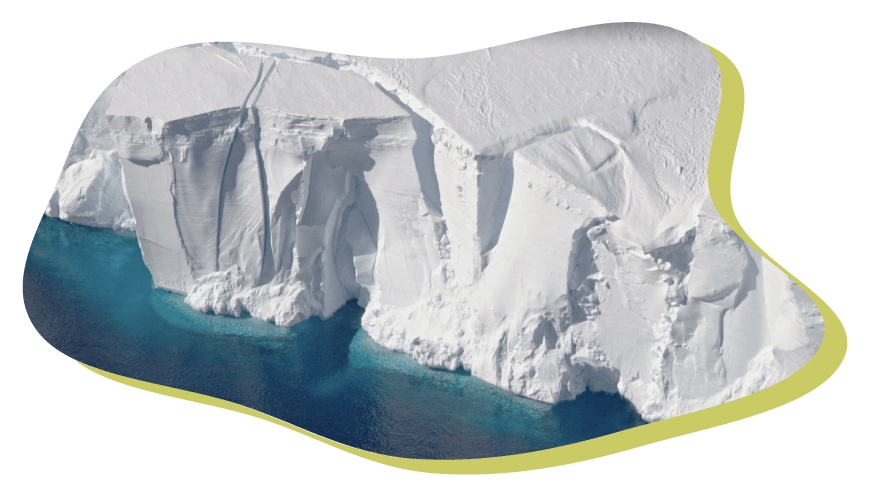
Read
How Do Clouds Form?
Why Does NASA Care About Food?
What Is an Urban Heat Island?
10 Interesting Things About Water
What Causes Air Pollution?
What Are Greenhouse Gases?
Which Pole Is Colder?
What Is the Greenhouse Effect?
What Does Carbon Dioxide "Parts Per Million" Mean?
What Is Sea Ice and How Is It Changing?
Is Sea Level Rising?
What Is Earth's Global Average Temperature and How Is It Changing?
What Is Permafrost?
What Are Climate Models?
10 Interesting Things About Glaciers
What is the Carbon Cycle?
What Is Climate Change?
How is Cold Weather Changing?
How Are Earth’s Ocean and Climate Connected?
How Do We Measure Sea Level?
How Do We Know if We’re in a Drought?
What Is the Water Cycle?
Why Does NASA Study Earth?
A Guide to Climate Change
Earth Indicators
Carbon Dioxide
Earth's atmosphere now has 430 parts of Carbon Dioxide for every million parts of air.
Global Temperature
Overall, Earth is about 2.5 degrees Fahrenheit (or about 1.4 degrees Celsius) warmer now than it was in the mid-19th century.
Sea Ice
Sea ice in the Arctic Ocean (measured and compared each year in September) has shrunk by around 46% since 1979 due to warmer temperatures.
Sea Level
The global average sea level has risen 4 inches since January 1993.
NASA Missions Studying Earth
Airborne Science Program
The Airborne Science Program uses different kinds of aircraft to test the instruments that fly on spacecraft, such as satellites.
Aqua
Aqua’s main goal is to improve our understanding of Earth's water cycle.
Aura
Aura has several instruments that work together to measure particles in the air called aerosols, ozone gas and other gases in Earth’s atmosphere.
CLARREO Pathfinder
CLARREO Pathfinder will measure the light and energy reflected off the Earth that comes from the Sun and will help to improve the accuracy of climate measurements collected by other satellites.
CYGNSS
The Global Navigation Satellite System provides our cell phones and cars with locations for navigation; the CYGNSS mission has seven satellites that measure how these signals bounce off of the ocean.
DSCOVR
DSCOVR collects observations of the Earth’s atmosphere and monitors the flow of particles from the Sun, called solar wind.
ECOSTRESS
ECOSTRESS measures plant temperatures to reveal their water needs.
GEDI
GEDI is the first laser to create 3-D maps of Earth's forests and geographic features, such as how tall the forest is, how dense its branches are, and how its leaves are spaced throughout the canopy.
GPM
This satellite network measures rain and snow worldwide.
GRACE-FO
GRACE-FO measures changes in Earth’s gravity at least once every 30 days.
ICESat-2
The Ice, Cloud and land Elevation Satellite-2 mission measures the thickness of ice sheets and sea ice, and tree canopy heights.
Jason-3
Jason-3 is the fourth U.S.-European satellite mission that measures ocean-surface height.
LAGEOS 1&2
LAGEOS 1 & 2 (short for Laser Geodynamics Satellites) help scientists make measurements used for studies of Earth’s shape and continental drift.
Landsat Satellites
Landsat satellites provide essential information about land surfaces to help scientists detect and monitor melting glaciers, urban growth, natural disasters such as floods and droughts, as well as changes in farms and forests.
NISAR
NISAR will use radar to see through the clouds to learn about the planet. It will measure all of the world’s land and ice twice every 12 days.
OCO-2
OCO-2 is the first spacecraft dedicated to studying carbon dioxide in Earth’s atmosphere.
OCO-3
OCO-3 is a near replica of OCO-2 and measures carbon dioxide in our atmosphere to help us understand the relationship between plants and carbon dioxide.
PACE
This mission studies phytoplankton (a type of tiny algae), ocean color and measures atmospheric particles and clouds.
SAGE III
SAGE-III-ISS peers through the atmosphere as the sunlight or moonlight shine through it. The information it collects helps us understand and care for Earth's atmosphere.
Sentinel-6 Michael Freilich
These satellites will help us to understand ocean circulation. They will also help to measure and monitor global sea level rise. It will also capture measurements of the atmosphere that will help improve how we predict future weather and climate.
SMAP
SMAP improves our ability to predict and monitor floods and droughts. It also helps to improve regular weather forecasts. It can also help predict how much food farm crops will produce.
Suomi-NPP
Suomi-NPP is a satellite with five instruments that watch Earth's environment and climate.
SWOT
SWOT is providing the first global survey of all Earth’s surface water.
TEMPO
This mission studies certain key pollutants in the air we breathe.
Terra
Terra keeps a close watch on Earth's atmosphere, ocean, land, snow, and ice.
TROPICS
This mission is four separate satellites, each made up of three CubeSats. TROPICS will measure atmospheric temperature profiles and precipitation.