 |
VOOZH | about |
|
VOOZH | about |
HeiGIT (Heidelberg Institute for Geoinformation Technology) advances geoinformation technology for the benefit of society and the environment. We bridge the gap between fundamental research in geoinformatics and practical applications by developing innovative tools and methods. Examples include customized geodata for humanitarian missions and intelligent routing for disaster response and climate action.
Using advances in spatial data processing and machine learning, we enrich and analyze geodata like OpenStreetMap, offering free tools and insights to researchers, public authorities, and non-profit organizations. Founded in 2019 as a non-profit affiliated with Heidelberg University, HeiGIT receives core funding from the Klaus Tschira Foundation.
Our mission is to bridge the gap between
fundamental research in geoinformatics and practical applications.
Our services and tools enhance the understanding of Web 2.0 data. We employ spatial data mining and machine learning techniques to analyze, process, enrich, and visualize this data.
To bridge the gap between climate change awareness and effective societal responses, we provide actionable data analyses and tools for stakeholders and citizens.
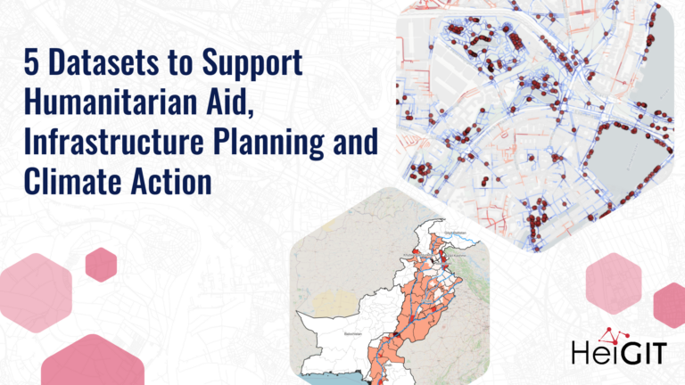
In close cooperation with international aid organizations we develop solutions and services to support humanitarian missions.
We develop globally available services and interfaces that support a wide range of mobility profiles, enabling sustainable transportation and humanitarian logistics.
The Sketch Map Tool is an easy-to-use tool for participatory mapping through offline collection, digitisation and georeferencing of local data.
openrouteservice is more than a routing engine; it’s a platform for mobility analysis, supporting transport, logistics, and accessibility studies.
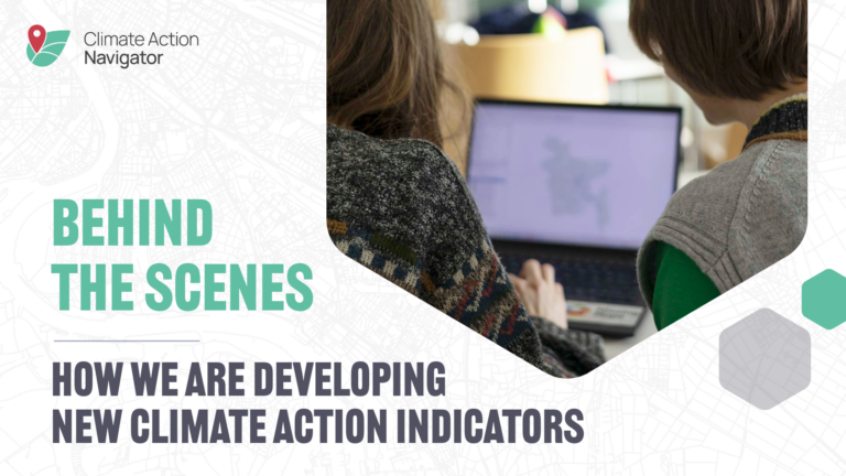
Climate Action Indicators provide high-resolution data and analysis on key climate indicators, from emissions to transportation options.
MapSwipe is an open-source mobile application designed to make global mapping more coordinated and efficient.
The ohsomeNow Stats dashboard provides near real-time, global statistics on OpenStreetMap mapping activity.
The ohsome quality API (OQAPI) provides access to OpenStreetMap (OSM) data quality insights tailored to specific regions and use cases.
At HeiGIT, we focus on developing useable and useful tools…
In 2023, a shared vision emerged to make geospatial skills…
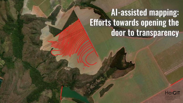
What role does the human-in-the-loop play in AI-assisted mapping? AI-assisted…
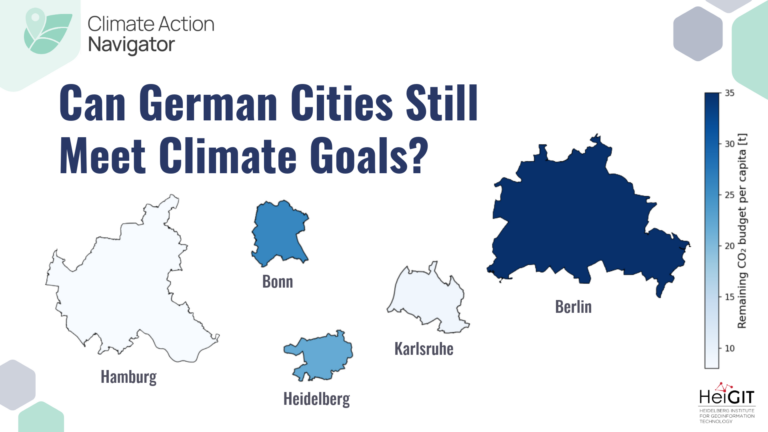
Reliable geodata is essential for informed decisions, such as preparing…
Numbers alone do not show whether a child can reach…