
Earth Videos
These videos tell a sample of the varied stories that NASA has learned from decades of observing Earth from space and how that understanding continues to evolve.
All Earth Videos
Filters
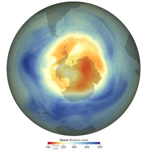
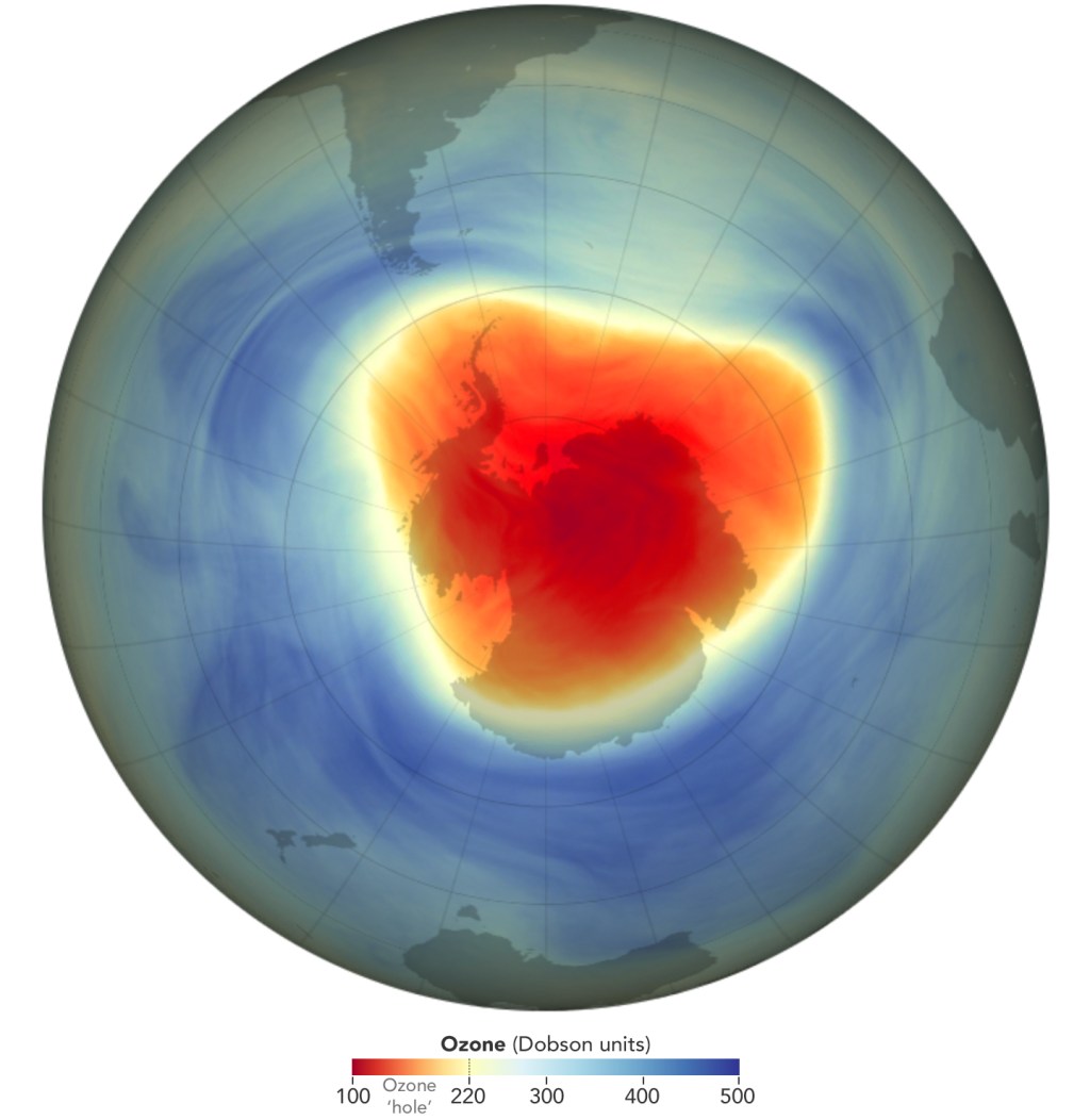
This year, the ozone hole over Antarctica reached its annual maximum extent on Sept. 9th, 2025, with an area of…
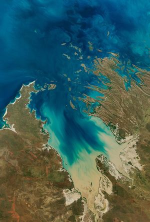
NASA–USGS Landsat has tracked coastal health, from Florida’s mangroves after hurricanes, to uncovering the surprising growth of eelgrass meadows in…
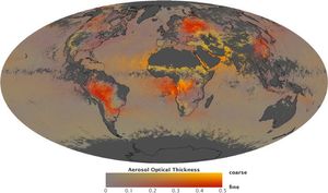
NASA uses satellites, ground measurements, and powerful computer models to track tiny particles floating in our air called aerosols.
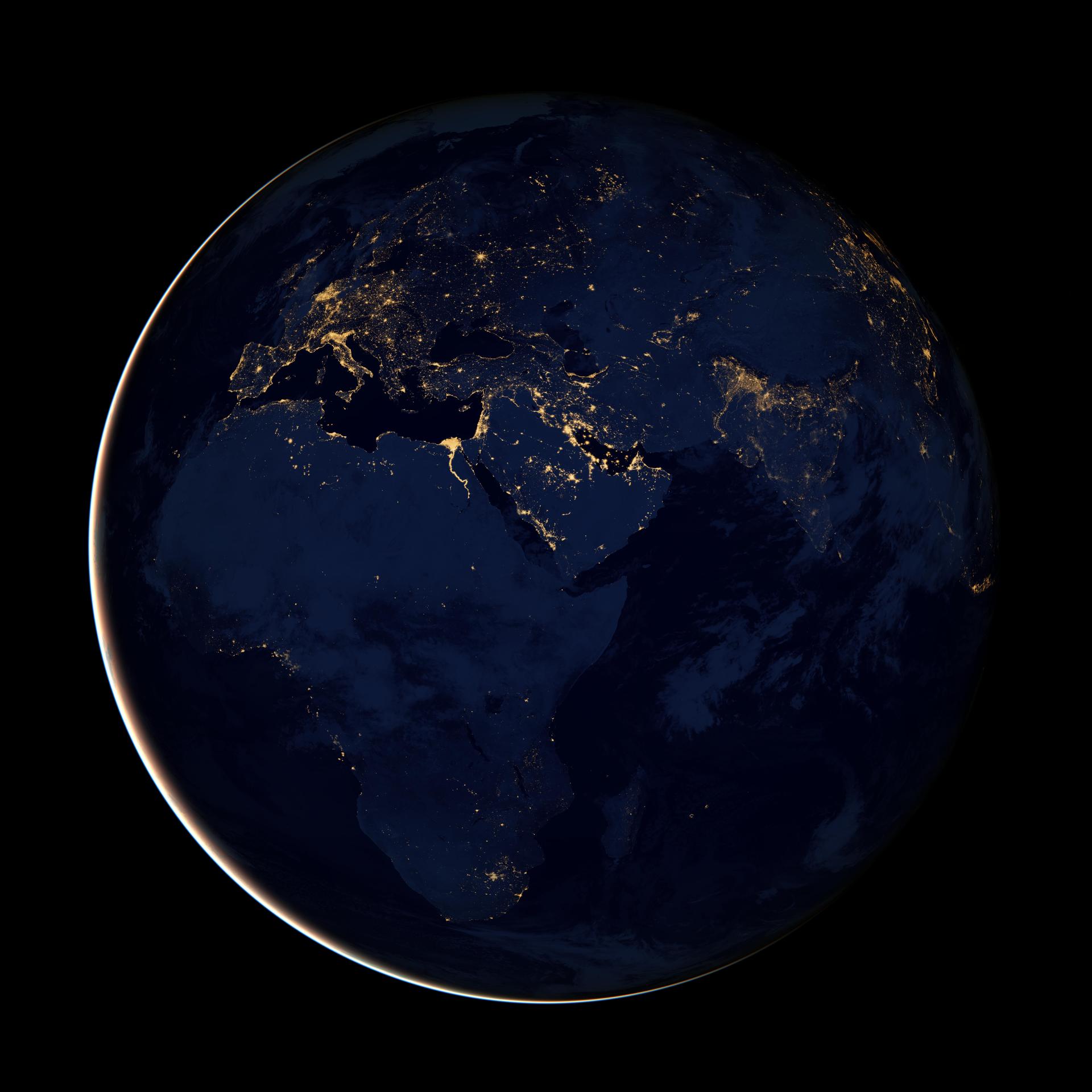
Studying the glowing patterns of Earth's surface helps us understand human activity, respond to disasters, and witness a changing world.
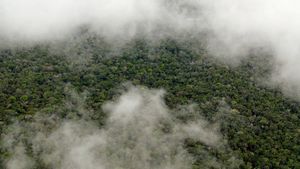
NASA uses satellite lidar technology to study Earth’s forests, key carbon sinks.
PACE now allows scientists to see three different pigments in vegetation, helping scientists pinpoint even more information about plant health.
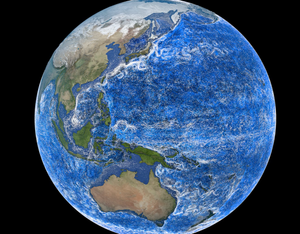
This data visualization showing ocean currents around the world uses data from NASA’s Estimating the Circulation and Climate of the…
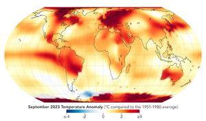
Earth's average surface temperature in 2024 was the warmest on record.
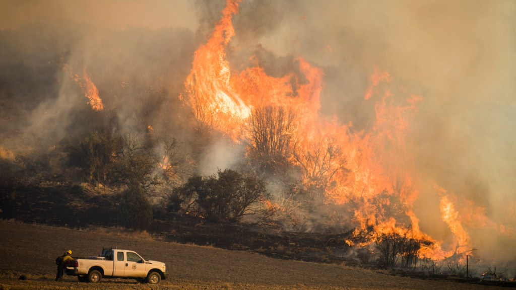
Discover how Landsat data supports wildfire management, from spotting early fire risks to watching nature's recovery.
In 2024 the ozone hole over Antarctica reached its annual maximum extent, with an area of 8.5 million square miles.
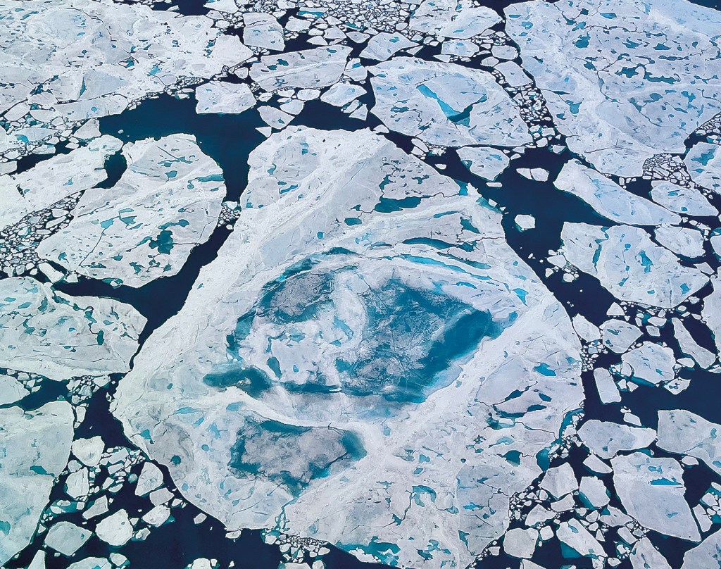
This summer, Arctic sea ice decreased to a its minimum extent on September 11, 2024. According to the National Snow…
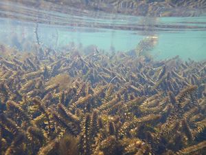
NASA is sharing a newly developed tool to guide restoration and management efforts of coldwater fish.