
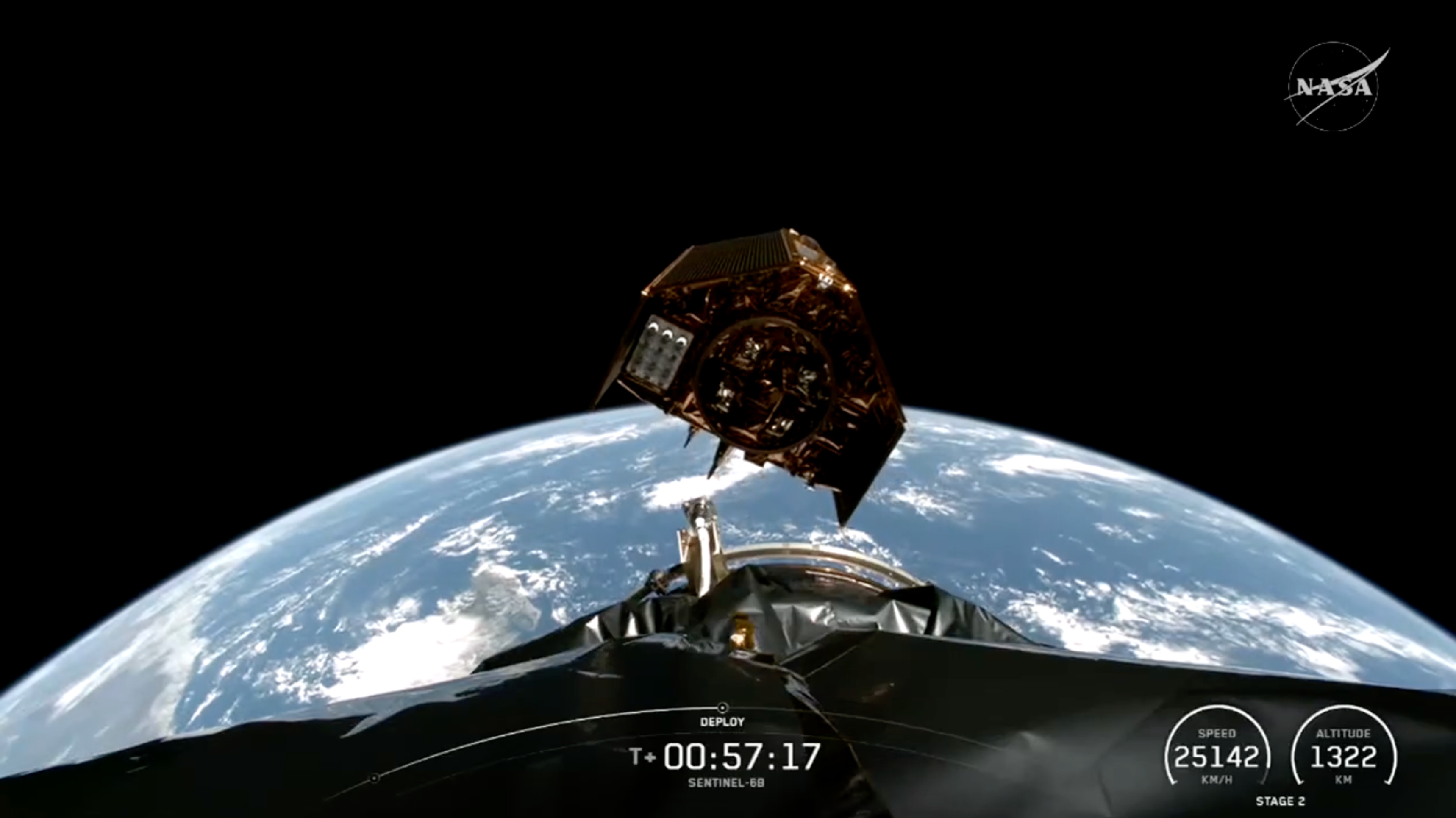
Sentinel-6B
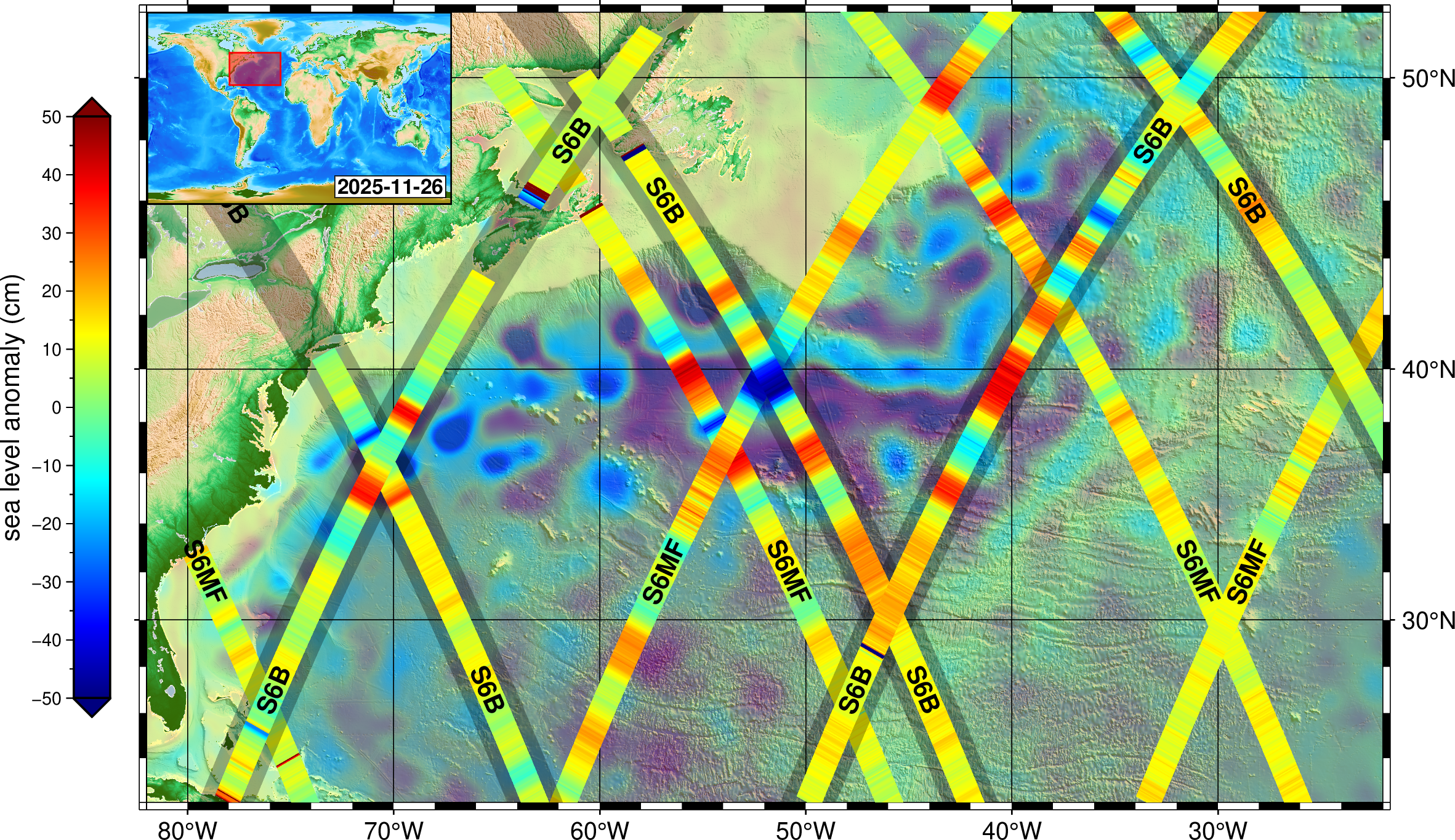
Sentinel-6B, an Earth-observing satellite jointly developed by NASA and U.S. and European partners, will observe the ocean and measure sea level rise to provide insights into our home planet that will improve weather forecasts and flood predictions, safeguard public safety, and protect coastal infrastructure.
It launched at 9:21 p.m. PST, Sunday, Nov. 16 (12:21 a.m. EST, Monday, Nov. 17) from Vandenberg Space Force Base in California, joining its twin satellite, Sentinel-6 Michael Freilich, which launched five years earlier.
Type
Launch
Partners
Objective
Relive the Launch: Sentinel-6B
Learn More About Sentinel-6B and Its Predecessors
Visit the Jason-CS/Sentinel-6 program website and learn more about Sentinel-6B and its twin predecessor, Sentinel-6 Michael Freilich, which launched in November 2020 and was named in honor of the late director of NASA’s Earth Science Division.
Visit the program website for Jason-CS/Sentinel-6 — ‘Ocean Surface Topography from Space’
6 Things to Know From NASA About New US, European Sea Satellite
Data from Sentinel-6B will continue a decades-long record of sea surface height, helping to improve coastal planning, protect critical infrastructure,…
Read the Story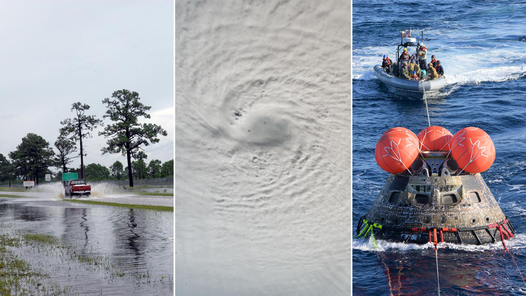
Sentinel-6B Stories
Discover Related Topics
Explore Earth Science
Earth Science at Work
NASA Earth Science helps Americans respond to challenges and societal needs — such as wildland fires, hurricanes, and water supplies…
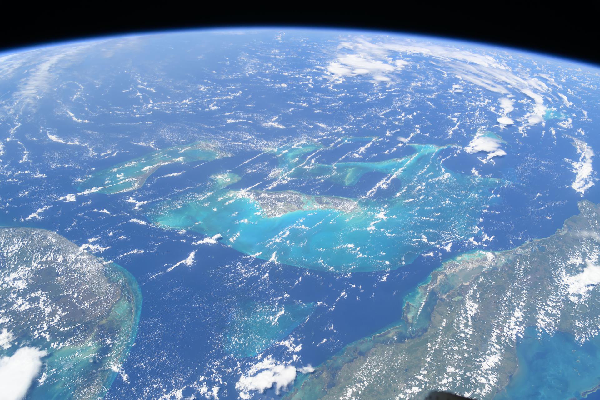
Earth Science Missions
In order to study the Earth as a whole system and understand how it is changing, NASA develops and supports…
Earth Science Data
Open access to NASA’s archive of Earth science data