
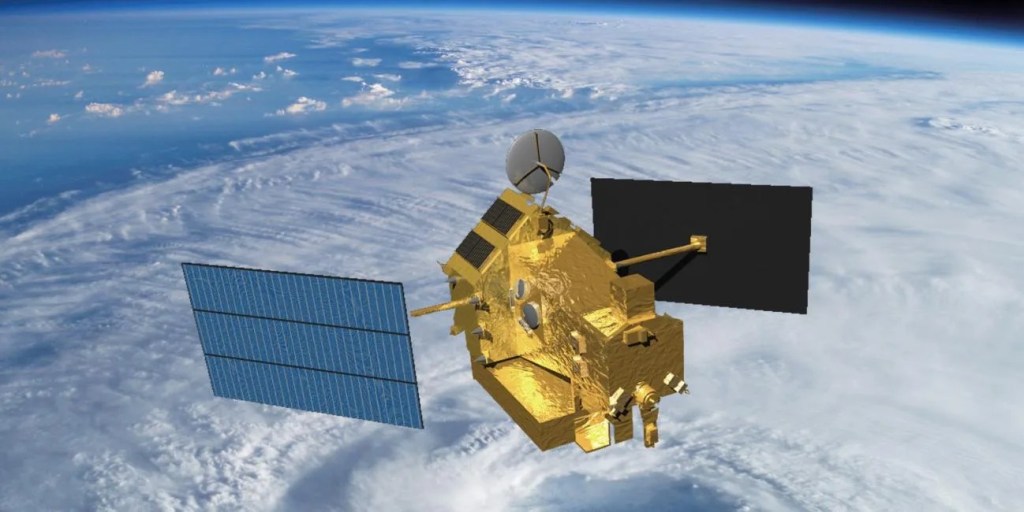
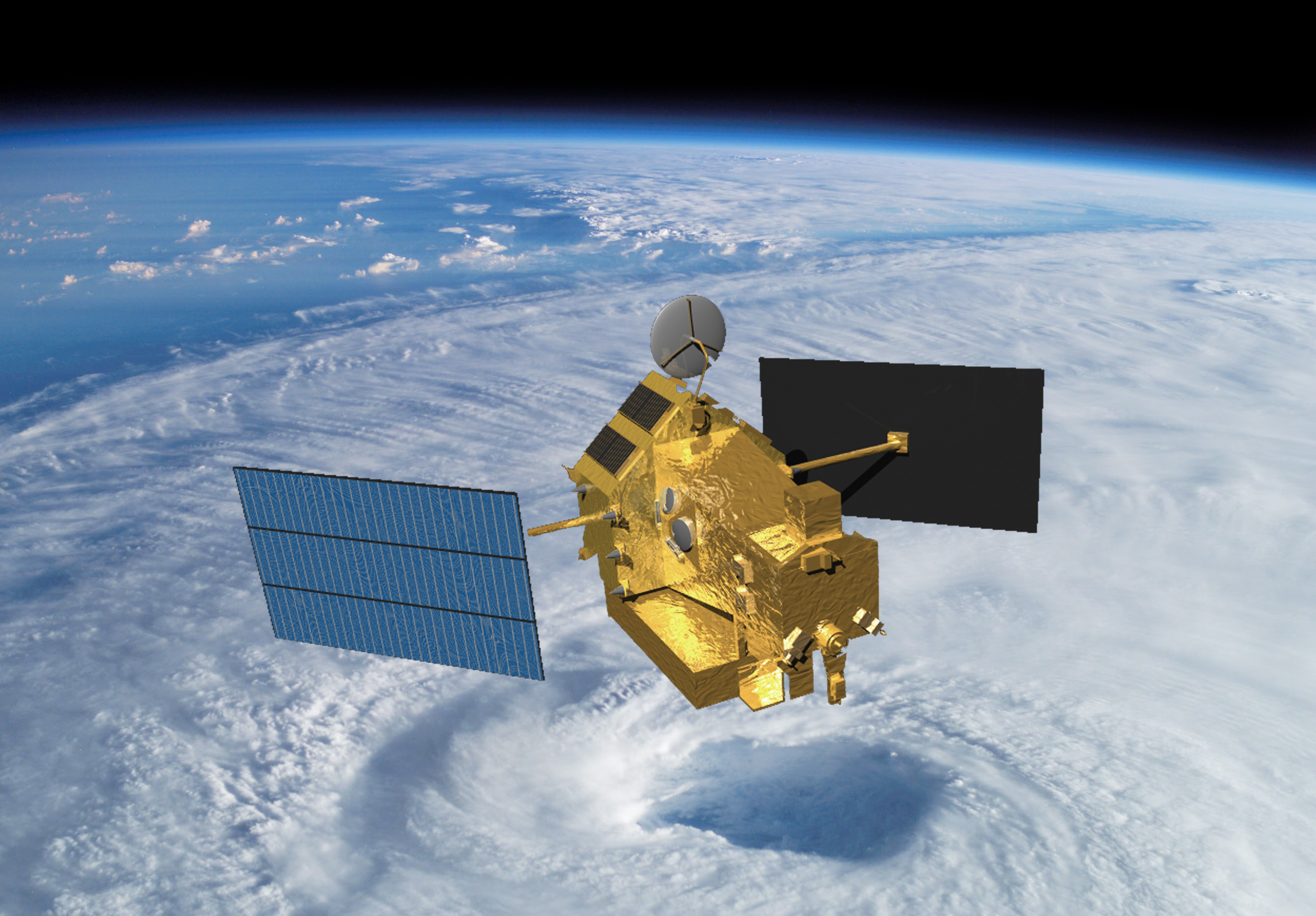
TRMM
Tropical Rainfall Measuring Mission
Type
launched
oBJECTIVE
Decommissioned
Key TRMM Facts
- Joint with Japan
- Orbit Type: Non-sun-synchronous
- Altitude: 350 km, boosted to 402 km on August 22, 2001
- Inclination: 35°
- Period: approx.91 minutes
- Repeat Cycle: Changes 24 hours of local time in 46-day precession cycle
- Dimensions: 5.2 m high
- Mass: 3512 kg
- Power: 1100 W
- Design Life: 3 years (operated for17)
The Tropical Rainfall Measuring Mission (TRMM) was a joint mission between joint NASA and National Space Development Agency of Japan (NASDA, now known as the Japan Aerospace Exploration Agency, or JAXA) that launched on November 27, 1997, from the Tanegashima Space Center in Japan aboard a Japanese H-II F6 rocket. The mission was extended twice but eventually the satellite’s maneuvering fuel was exhausted, resulting in a slow decline in the orbital altitude beginning in July 2014, with reentry in April 2015.
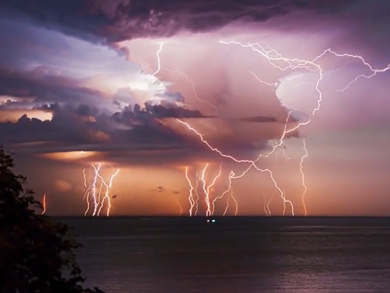
TRMM flew three primary instruments: the TRMM Microwave Imager (TMI), Visible Infrared Scanner (VIRS), and Precipitation Radar (PR). These three instruments complemented one another and were used to make comprehensive rainfall observations over the tropics and sub-tropics. These data improved scientific understanding of the structure of cloud systems, produced reliable quasi-global latent heating estimates to improve water transfer estimates within the atmosphere, and continue to be used in calibrating modern precipitation products.
There were also two other instruments onboard that were part of the Earth Observing System (EOS): the Clouds and the Earth’s Radiant Energy System (CERES) and Lightning Imaging Sensor (LIS). TRMM was the first mission to launch with a CERES instrument onboard, which while short-lived due to instrumental issues, obtained radiation budget measurements that provided an important bridge between the three-satellite configuration of the Earth Radiation Budget Experiment (ERBE) launched in the mid-1980s and the CERES instruments that have flown on EOS Terra (1999) and Aqua (2002), the joint NOAA–NASA Suomi National Polar-orbiting Platform (Suomi NPP) mission (2011), and the first NOAA–NASA Joint Polar Satellite System mission, now known as NOAA-20 (2017).
Although more limited in latitudinal coverage, LIS on TRMM was three times more sensitive than its predecessor, the Optical Transient Detector (OTD) on MicroLab-1 – which had been in orbit since 1995. It was also advantageous to have LIS fly on the same platform as the other TRMM instruments. Simultaneous observations of lightning along with TRMM visible, infrared, microwave, and radar observations allowed scientists to directly test several hypotheses on the interrelationships between updrafts, ice formation, and lightning over numerous global tropical cloud regimes from a spaceborne platform. In 2017, the flight spare developed for LIS on TRMM was launched to the International Space Station (ISS). In addition to continuing the time series of lightning observations dating back to OTD, LIS on ISS expanded latitudinal coverage due to the ISS’s 51° inclined orbit, encompassing the climatically important midlatitudes.
TRMM’s legacy lives on in its successor mission, the joint NASA–JAXA Global Precipitation Measurement (GPM) mission. The GPM Core Observatory launched in 2014, and is expected to fly into the early 2030’s. Over the years, TRMM (and now GPM) data have been incorporated into numerous computer models to clarify the role of tropical rainfall on global circulation and formed the basis for quasi-global merged satellite precipitation products, e.g., first the experimental TRMM Multi-satellite Precipitation Analysis (TMPA), and now the Integrated Multi-satellitE Retrievals for GPM (IMERG), which continues to employ TRMM data.
TRMM Instruments
The TRMM spacecraft was built at NASA Goddard Space Flight Center and transported to Tanegashima Space Center, where it launched on a Japanese H-II F6 rocket.
TRMM had a five-instrument payload, two of which were flown as part of EOS (CERES and LIS). NASDA provided the Precipitation Radar, while the U.S. provided the rest of the instruments and the Precipitation Processing System (PPS) that processed the mission’s data.
- TRMM Microwave Imager (TMI). A nine-channel conical scanning passive microwave imager making measurements from 10 to 85 GHz, 37- to 4.6-km resolution respectively, covering a 760-km swath.
- Visible and Infrared Scanner (VIRS). A five-channel cross-track imaging radiometer (0.62, 1.63, 3.78, 10.83, and12.03 μm) with nominal 2-km resolution at nadir and a 720-km swath.
- Precipitation Radar (PR). An electronically scanning radar operating at 13.8 GHz; 4.3-km instantaneous field-of-view at nadir over a 220-km swath.
- Clouds and the Earth’s Radiant Energy System (CERES). A three-channel, broadband radiometer (0.3 to > 100 μm, 0.3–5 μm, 8–12 μm) designed to measure major elements of the Earth’s radiation balance.
- Lightning Imaging Sensor (LIS). Staring telescope/filter imaging system (0.777 μm) with 5-km spatial resolution and 2-ms temporal resolution over an imaging area of 600 km × 600 km.
Data Product Access
TRMM data products are available from Earthdata.
NOTE: GPM compiles similar data products using modern algorithms on the TRMM-era satellite observations. Where possible, consistent products are provided that span the entire TRMM and GPM eras. These modern products are also available via Earthdata.
References
- “TRMM: Tropical Rainfall Measuring Mission,” 2006 EOS Reference Handbook, 243–254. Although some information is clearly dated – this is still a nice write-up on the TRMM mission, instruments, and data products.
- “LIS on ISS: Expanded Global Coverage and Enhanced Applications,” The Earth Observer, May–Jun 2016 [28:3, 4–14]. This article, from a decade ago when LIS on ISS was preparing to launch, was an additional source for information on LIS on TRMM – see page 5.
TRMM Stories
When it is solicited, Weather and Atmospheric Dynamics (WAD) is primarily designed to apply NASA scientific remote sensing expertise to…
The Tropical Rainfall Measuring Mission (TRMM) made comprehensive rainfall observations over the tropics and sub-tropics.
With lightning killing hundreds of people in Bangladesh and Nepal each year, researchers think space-based observations could help reduce risks.
A sensor installed on the International Space Station is yielding fresh insights on the global distribution of lightning.
Researchers are using satellite data to understand where locusts may spread during the largest infestation in eastern Africa in decades.
Water shortages in the Middle East lead to sanitation issues in schools, resulting in periodic school closures. NASA is working…
Lightning, thunderstorms, and dust storms are normal in India—but not at this intensity.
Changes in human settlement patterns and agriculture have led to less burning in grasslands, tropical forests, and savannas.
Earth has a new lightning capital, according to a recent study using observations from the Lightning Imaging Sensor onboard NASA’s…
In 1997 when the Tropical Rainfall Measuring Mission, or TRMM, was launched, its mission was scheduled to last just a…
Space-borne sensors extend the record of global lightning detection.
The increase around the wettest regions of Earth comes from a rise in large, well-organized thunderstorms.
Discover More from Earth Science
Explore Earth Science
Earth Science at Work
NASA Earth Science helps Americans respond to challenges and societal needs — such as wildland fires, hurricanes, and water supplies…
Earth Science Missions
In order to study the Earth as a whole system and understand how it is changing, NASA develops and supports…
Earth Science Data
Open access to NASA’s archive of Earth science data