NASA Analysis Shows La Niña Limited Sea Level Rise in 2025
A mild La Niña caused greater rainfall over the Amazon basin, which offset rising sea levels due to record warming of Earth’s oceans.
Read More ›
 |
VOOZH | about |
Explore the El Niño 2023 Animation (updated January 23, 2024)
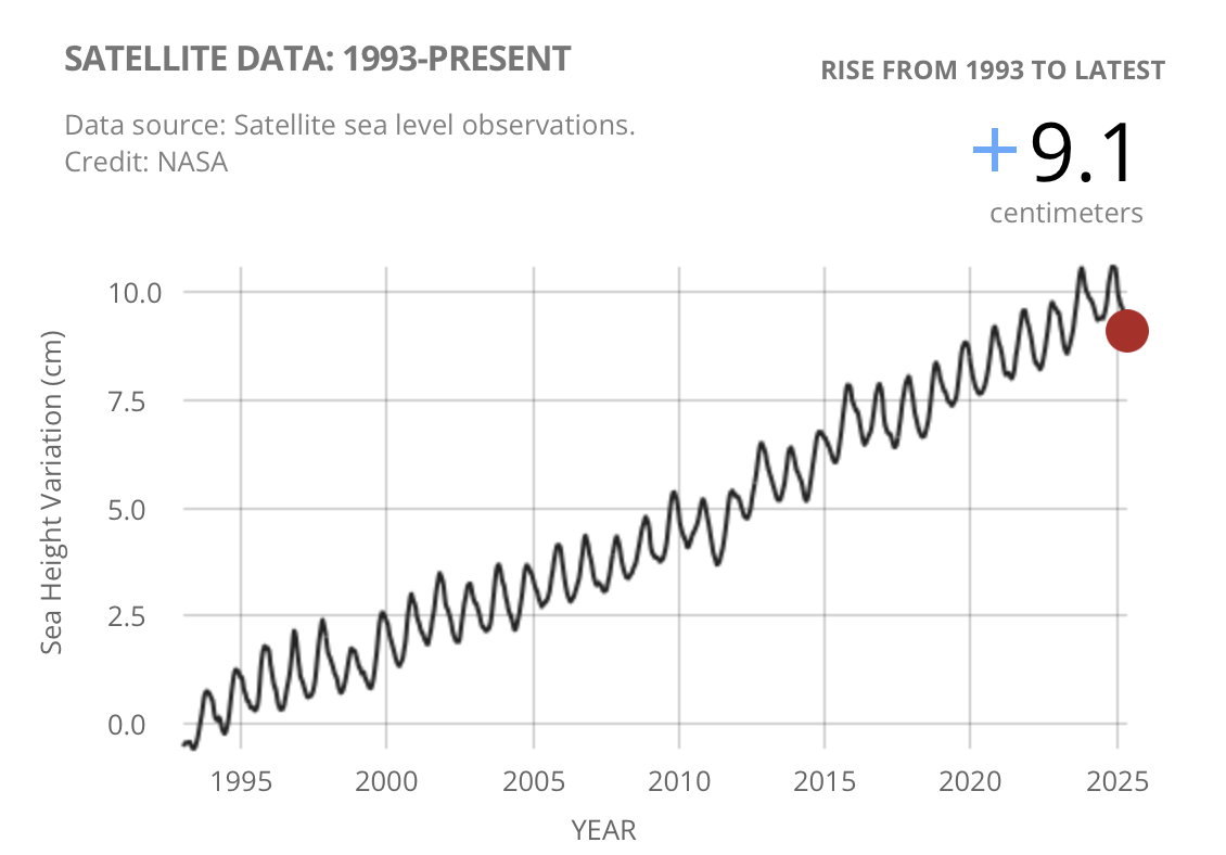
Data collected from a series of satellite altimeters have measured a rise in global mean sea level (GMSL). The rate more than has doubled with more than 10 cm of total rise in the last 30 years.
Sea Surface Height Anomaly: SWOT, Jason-3 and Sentinel-6MF Measurements from 25-Mar-2026 to 04-Apr-2026
Updates on the latest research being completed by the team of international and interdisciplinary scientists.
Only from space can we observe the height of our vast ocean on a global scale and monitor critical changes in ocean currents and heat storage. Continuous data from satellites like TOPEX/Poseidon, Jason-1, OSTM/Jason-2, and Jason-3 help us understand and foresee the effects of the changing oceans on our climate and on catastrophic climate events such as El Niño and La Niña.
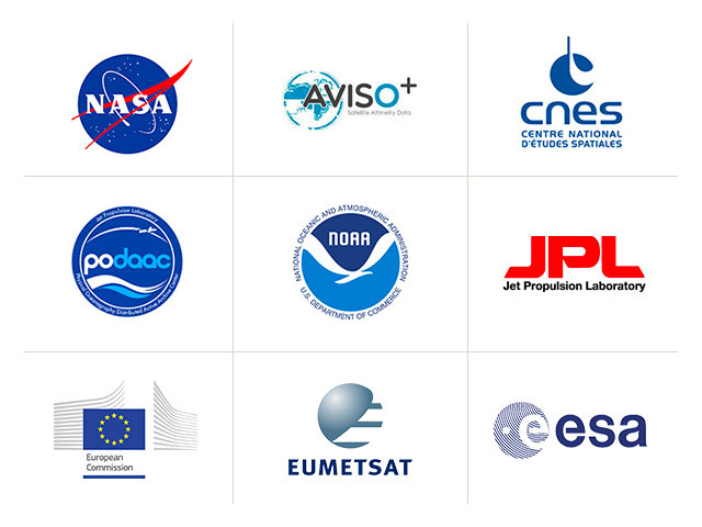
In an environment of constrained resources, U.S. and international partnerships are necessary to gain as much understanding of our planet as possible. Not only do they do they reduce costs for NASA, they also engage a larger group of scientists with a wider variety of specialties and interests.