
Clark County | |
|---|---|
| 👁 Clark County Courthouse in Jeffersonville, Indiana Clark County Courthouse in Jeffersonville, Indiana | |
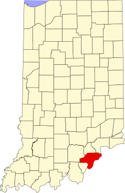
| 👁 Map of Indiana highlighting Clark County Location within the U.S. state of Indiana | |
| 👁 Map of the United States highlighting Indiana Indiana's location within the U.S. | |
| Coordinates: 38°29′N 85°43′W / 38.48°N 85.72°W / 38.48; -85.72 | |
| Country | 👁 Image United States |
| State | 👁 Image Indiana |
| Founded | 3 February 1801 |
| Named for | General George Rogers Clark |
| Seat | Jeffersonville |
| Largest city | Jeffersonville |
| Area | |
| •Total | 376.45sqmi (975.0km2) |
| •Land | 372.86sqmi (965.7km2) |
| •Water | 3.60sqmi (9.3km2) 0.96% |
| Population | |
| •Total | 121,093 |
| •Density | 320/sqmi (120/km2) |
| Time zone | UTC−5 (Eastern) |
| •Summer (DST) | UTC−4 (EDT) |
| Congressional district | 9th |
| Website | www.co.clark.in.us |
| |
Clark County is a county in the U.S. state of Indiana. As of the 2020 census, 121,093 people lived there.[1] The county seat is Jeffersonville.[2]
References
[change | change source]- 1 2 "QuickFacts: Clark County, Indiana". United States Census Bureau. Retrieved September 25, 2023.
- ↑ "Find a County". National Association of Counties. Archived from the original on 31 May 2011. Retrieved 7 June 2011.
👁 Image
This short article about aplace or feature in the United States can be made longer. You can help Wikipedia by adding to it.
This short article about aplace or feature in the United States can be made longer. You can help Wikipedia by adding to it.