Geographical information system (GIS) and its Components
Last Updated : 4 Aug, 2025
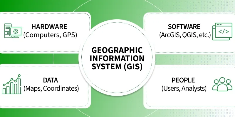
A Geographic Information System (GIS) is a system designed to collect, store, manage, analyze, and visualize geographic or spatial data. It helps users identify patterns, relationships, and trends based on location, making it a powerful tool for decision-making in fields like urban planning, agriculture, transportation, disaster management, and environmental monitoring.
Why do we need GIS
GIS needs to integrate data from multiple sources with varying accuracy levels.
Since it deals with real-world scenarios, GIS data must be frequently updated to stay relevant and reliable.
Much of the information in a GIS is context-specific and requires tools for efficient retrieval and interpretation.
