 |
VOOZH | about |
|
VOOZH | about |
Class 11 Geography Physiography of India Notes: Geography Class 11 Notes is a crucial subject in the Social Science curriculum that requires students to have a thorough understanding of the Earth, its physical features, and human activities.
The subject demands a strong foundation in conceptual knowledge and an ability to analyze and interpret geographical data. These notes provide a comprehensive summary of the key topics, aiding students in better comprehension of the subject matter.
All the important topics have been compiled in CBSE Notes Class 11 Geography Physiography of India.
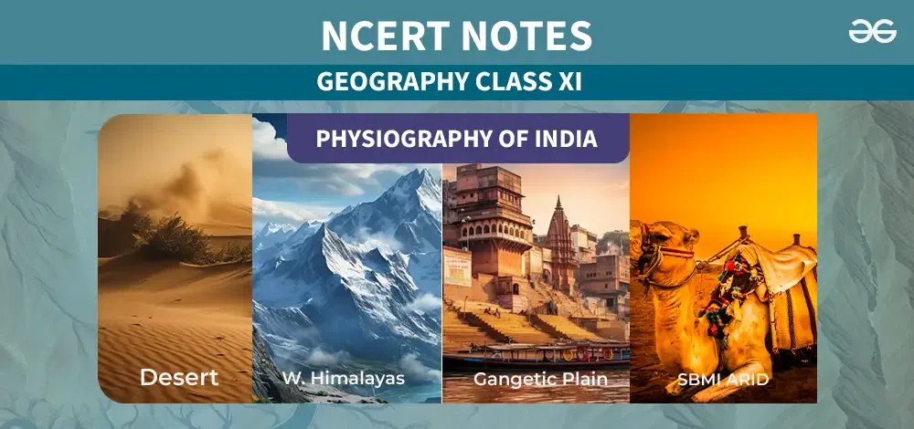
India, with its rich history and diverse culture, is a land of contrasts and beauty. From the towering peaks of the Himalayas in the north to the sunny shores of the southern coast, India's landscape is incredibly varied. Along the southwest coastline, lush tropical forests thrive, while the eastern part of the country is adorned with the mighty Brahmaputra riRiverer. In contrast, the west encounters the vast expanses of the Thar Desert.
The Indian mainland spans from 8°4′ to 37°6′ north in longitude and 68°7′ East to 97°25′ East in latitude. This configuration creates 2933 km from east to west and 3214 km from north to south.
At 23°30′ north latitude, the Tropic of Cancer splits India into Northern and Southern halves. States like Gujarat, Rajasthan, Madhya Pradesh, Chhattisgarh, Jharkhand, West Bengal, Tripura, and Mizoram fall along this significant circle.
Due to a 30-degree difference in longitude, the western and eastern ends of India have a time gap of approximately two hours. The Standard Meridian, situated at 82°30′ East, as the reference point for Indian Standard Time, which is 5 and a half hours ahead of GMT. This meridian passes through Mirzapur in Uttar Pradesh, near Allahabad, at the heart of the nation.
Physiography is all about the natural features and characteristics of a place, like its landforms, climate, and water bodies. It's like studying the Earth's physical makeup, understanding how things like mountains, rivers, and weather patterns shape the landscape. By looking at physiography, we can learn a lot about how our world has changed over time because of things like geology, water flow, and weather.
India has many different types of land. These different types of land have led people to divide India into six main areas. Each area has its own special features:
These areas show how diverse India's landscapes are.
The Indus, Ganga, and Brahmaputra rivers have shaped the Northern Plains with their alluvial deposits, spanning 3200 km from east to west in Indian geography. Surprisingly, these deposits can be found up to 2000 kilometers beneath the surface.
In this region, there are several geographical features:
Within the alluvial plains, two divisions can be observed:
These divisions demonstrate the gradual transition from the foothills to the flat plains, each with its unique characteristics and importance.
The biggest natural land area in India is called the Peninsular Upland. It's shaped like a lopsided triangle and mostly sits between 600 to 900 meters above the ocean level. On its outer edges, you'll find the Delhi Ridge in the northwest (which is kind of an extension of the Aravallis), the Raj Mahal Hills in the east, the Gir Range to the west, and the Cardamom Hills in the south. Towards the northeast, it continues as the Shillong and Karbi-Anglong plateau.
This area is part of India’s oldest and most steady land, shaped by the breaking and shifting of the Gondwana landmass. It's made up of old rocks like crystalline, igneous, and metamorphic rocks.
The Peninsular India has several plateaus, such as the Hazaribagh, Palamu, Ranchi, Malwa, Coimbatore, and Karnataka plateaus. Over time, these plateaus have experienced changes due to rising and sinking, along with cracks and fractures in the Earth’s crust. This has changed the landscape, making the northwest rugged with canyons and deep valleys like the Chambal, Bhind, and Morena valleys.
One unique thing about this area is the Deccan Trap, where you find dark soil because of volcanic activity. This soil, known as black soil, has formed from igneous rocks wearing down over time.
Based on its landscape, the Peninsular Plateau can be divided into three main parts:
A desert is a dry area where more water evaporates than falls as rain. Rajasthan is home to over 60% of the Thar Desert, often called the Great Indian Desert. Here are some key facts about this desert:
India has two important groups of islands located in the Arabian Sea and the Bay of Bengal. The Andaman and Nicobar Islands in the Bay of Bengal consist of a total of 204 islands. These islands are separated by the "Ten Degree Channel," with the Andaman Islands to the north and the Nicobar Islands to the south. The coastlines of these islands are known for their beautiful coral reefs and beaches. The vegetation on these islands is equatorial.
In the Arabian Sea, the Lakshadweep and Minicoy Islands form another island group. These islands are close to the Malabar Coast and are entirely made of coral deposits. Among them, Minicoy is the largest of the 43 islands.
In the Bay of Bengal, there are about 572 islands and islets situated between latitudes 6°N and 14°N and longitudes 92°E and 94°E. The main groups are the Ritchie’s Archipelago and Labyrinth Island. They can be divided into the Andaman Islands in the north and the Nicobar Islands in the south, separated by the 10° channel.
Moving to the Arabian Sea islands, the Lakshadweep and Minicoy islands are spread between latitudes 8°N and 12°N and longitudes 71°E and 74°E. These islands are located about 280 to 480 kilometers away from the coast of Kerala. They are all made of coral deposits. Among the 36 islands, 11 are inhabited. Minicoy, the largest, covers an area of 453 square kilometers. The 11° channel roughly divides the entire island chain, with Amini Island to the north and Canannore Island to the south.
The vast Himalayas mainly stretch from northwest to southwest, especially in the Northwestern region. However, in places like Nagaland, Manipur, and Mizoram, they run from north to south. The Himalayas are crucial as they act as a divider in geography, climate, water flow, and culture. Let's look at the subdivisions:
Kashmir Himalayas: This area includes ranges like Karakoram, Ladakh, Zaskar, and Pir Panjal. The northern part forms a cold desert between the Greater Himalayas and the Karakoram. The Kashmir Valley lies within, with karewa formations ideal for saffron cultivation. Notable lakes include Dal and Wular. Rivers like Jhelum and Chenab flow here.
Himachal & Uttaranchal Himalayas: Spanning between the Ravi and Kali rivers, this region is drained by the Indus and Ganga river systems. It includes the Great Himalaya, Lesser Himalayas, and the Shiwalik range. Dun and Shiwalik formations are common, and all five Prayags are located here.
Darjiling and Sikkim Himalayas: This segment consists of Nepal and Bhutan Himalayas. It's traversed by the Tista River and features deep valleys. The Kanchenjunga peak is prominent, and Lepcha tribes inhabit the area. Here, tea gardens thrive due to "duar formations."
Arunachal Himalayas: Running from eastern Bhutan to Diphu Pass, this region lacks Shiwalik formations. Notable peaks include Kangtu and Namcha Barwa. The Brahmaputra flows through a narrow gorge. Rich biodiversity is preserved by indigenous groups.
Eastern Hills and Mountains: Running north to south, this region includes the Barak River in Manipur and Mizoram. Loktak Lake in Manipur is surrounded by mountains. Soft, unconsolidated deposits form the Molassis Basin in Mizoram. Rivers in Nagaland feed into Brahmaputra tributaries, while Manipur's rivers flow into Myanmar's Irrawaddy.
India's coastal plains are flanked by the Arabian Sea and the Bay of Bengal, running alongside the country. These coastal plains are categorized into Western and Eastern Coastal Plains based on their location and geological processes.
The Western Coastal Plain stretches from the Rann of Kachchh to Kanyakumari and is divided into four sections:
While the western coast widens towards the north and south, it remains narrower in the central portion. Unlike the Western Coast rivers, those on the Eastern Coast do not form deltas.
In contrast, the Eastern Coastal Plain runs along the Bay of Bengal. It's relatively narrower and characterized by ongoing development, resulting in fewer ports and harbours. Notably, well-established deltas are formed by the Mahanadi, Godavari, Krishna, and Kaveri rivers in this region. The continental shelf extends up to 500 kilometers into the sea from the coast.