VOOZH about

URL: https://apify.com/lexis-solutions/hikingproject-scraper

⇱ Hiking Project Scraper Β· Apify


Pricing

from $1.49 / 1,000 results

Go to Apify Store

Hiking Project Scraper

Hiking Project scraper that extracts structured hiking trail data with distance, elevation, difficulty, ratings, location and nearby routes for outdoor apps, maps, trail databases, and hiking analytics.

Pricing

from $1.49 / 1,000 results

Rating

0.0

(0)

Developer

πŸ‘ Lexis Solutions

Lexis Solutions

Maintained by Community

Actor stats

0

Bookmarked

2

Total users

1

Monthly active users

23 days ago

Last modified

Share

πŸ₯Ύ Hiking Project Scraper

πŸ‘ Hiking Project Scraper

❓ What is this scraper?

This scraper extracts structured hiking trail data from Hiking Project β€” a crowd-sourced platform designed to help people discover and explore trails.

Hiking Project’s mission is to inspire outdoor exploration by providing accurate, community-driven trail information. The platform allows users to contribute trails, photos, ratings, and updates, while ensuring quality through content review.

The extracted data is normalized into a structured format, making it easy to use for analysis, integrations, or storage.


⚑ Why this scraper?

Hiking Project provides rich, structured information about hiking trails across different regions. This scraper allows you to:

  • Discover trails based on search queries and locations
  • Build datasets of hiking routes and trail metadata
  • Analyze trail difficulty, elevation, and terrain
  • Aggregate trail information for apps or mapping platforms
  • Track ratings and publicly available trail details at scale

πŸ“₯ Input

{
"maxItems":5,
"startUrls":[
{
"url":"https://www.hikingproject.com/search?q=massachusetts&type=routes"
}
],
"proxyConfiguration":{
"useApifyProxy":false
}
}

πŸ“€ Output

Each trail is returned as a structured JSON object:

{
"url":"https://www.hikingproject.com/trail/7118864/cape-cod-rail-trail",
"title":"Cape Cod Rail Trail",
"difficulty":"Easy",
"summary":"β€œA trail through six Cape Cod cities. ”",
"description":"The terrain is very flat and there is little challenge in the trail, and a route from start to end one way takes around three hours.",
"stats":{
"distanceMiles":"29.6",
"trailType":"Point to Point",
"highElevation":"109'",
"lowElevation":"4'",
"elevationGain":"468'",
"elevationLoss":"456'",
"avgGrade":"1%",
"maxGrade":"6%"
},
"rating":{
"value":"5.0",
"votes":"1",
"rankInArea":"#2",
"rankInState":"#80",
"rankOverall":"#6,515"
},
"location":{
"breadcrumb":[
"Areas",
"MA",
"Cape Cod and the Islands"
],
"latitude":"41.67770625",
"longitude":"-70.24918947"
},
"dogs":"Off-leash",
"features":"Commonly Backpacked Β· Views",
"familyFriendly":"Lots of picnic tables, restaurants, and restrooms near the trail.",
"landManager":{
"name":"MA DCR - Nickerson State Park",
"url":"https://www.mass.gov/locations/nickerson-state-park"
},
"sharedBy":{
"name":"Andrii Rosa",
"url":"https://www.hikingproject.com/user/202133725/andrii-rosa"
},
"photos":[],
"conditions":"Unknown",
"nearbyRoutes":[
{
"url":"https://www.hikingproject.com/trail/7036161/pine-tree-trail",
"name":"Pine Tree Trail",
"difficulty":"blue",
"distanceMiles":"3.7 mi",
"elevationGain":"216' Up",
"elevationLoss":"216' Down",
"thumbnail":"https://hikingproject.com/assets/photos/hike/7040695_sqsmall_1555094306.jpg?cache=1777111857",
"location":"Pocasset, MA"
},
{
"url":"https://www.hikingproject.com/trail/7035931/wellfleet-audobon-loop",
"name":"Wellfleet Audobon Loop",
"difficulty":"greenblue",
"distanceMiles":"1.7 mi",
"elevationGain":"57' Up",
"elevationLoss":"58' Down",
"thumbnail":"https://hikingproject.com/assets/photos/hike/7036590_sqsmall_1555022636.jpg?cache=1777111667",
"location":"North E…, MA"
},
{
"url":"https://www.hikingproject.com/trail/7032322/pamet-loop",
"name":"Pamet Loop",
"difficulty":"blueblack",
"distanceMiles":"5.4 mi",
"elevationGain":"239' Up",
"elevationLoss":"239' Down",
"thumbnail":"https://hikingproject.com/assets/photos/hike/7033232_sqsmall_1554997521.jpg?cache=1777111517",
"location":"Truro, MA"
}
]
}

Need to scrape other sites?

Check out our other scrapers on Apify:


πŸ‘€ p.s.

Got feedback or need an extension?

Lexis Solutions is a certified Apify Partner. We can help you with custom solutions or data extraction projects.

Contact us over Email or LinkedIn


Support Our Work πŸ’

If you're happy with our work and scrapers, you're welcome to leave us a company review here and leave a review for the scrapers you're subscribed to. It will take you less than a minute but it will mean a lot to us!
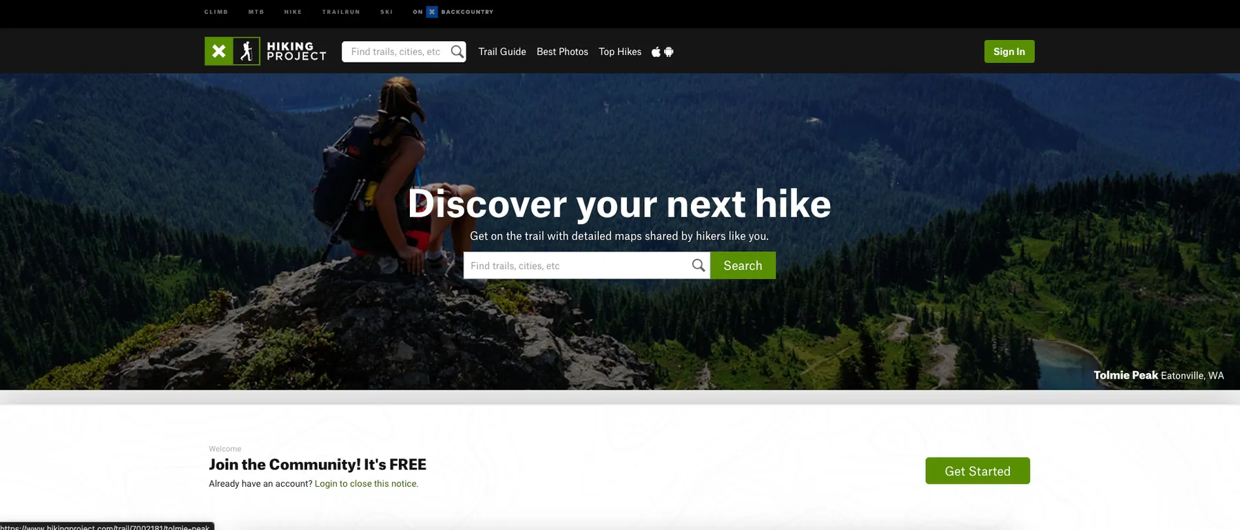

Image Credit

Image Credit: https://www.hikingproject.com/

You might also like

Komoot Hiking & Outdoor Routes Scraper

logiover/komoot-hiking-outdoor-routes-scraper

Scrape Komoot hiking, cycling and MTB routes without login. Export trail data to CSV/JSON by location, coordinates or tour ID via an unofficial Komoot API.

OSM Overpass Hiking Trail Route Scraper

jungle_synthesizer/osm-overpass-hiking-route-relation-scraper

Query the Overpass API for OpenStreetMap hiking route relations by bounding box or region. Returns ODbL-licensed trail geometry: route names, distance, network level, way coordinates, and full OSM tags. The only license-clean trail corpus on Apify β€” safe for AI training and GIS use.

πŸ‘ User avatar

BowTiedRaccoon

2

AllTrails Scraper

crawlerbros/alltrails-scraper

Scrape AllTrails, the world's largest hiking, biking, and running trail database. Search trails by keyword/location; fetch full trail detail (difficulty, distance, elevation, GPS coordinates, photos, recent reviews); browse trails by park, city, or country.

9

5.0

WTA Washington Trails Scraper

crawlerbros/wta-trails-scraper

Scrape wta.org (Washington Trails Association) hiking trail database - search trails by region, get trail stats (length, elevation, rating), features, coordinates, and trip reports across Washington State.

AllTrails Scraper

solidcode/alltrails-scraper

[πŸ’° $9 / 1K] Extract trail data from AllTrails β€” ratings, difficulty, length, elevation, GPS, photos, and trail features. Search by national park, US state, or city, or paste any AllTrails URL. Filter by difficulty, rating, activity, route type, and 20 trail features.

Trailforks Scraper

crawlerbros/trailforks-scraper

Scrape mountain biking trails from Trailforks - the world's largest trail database. Search by keyword or region, filter by difficulty, fetch trail details, and get popular trails with ratings, distance, and elevation data.

AS Adventure Scraper β€” Belgian Outdoor Gear & Sports

studio-amba/asadventure-scraper

Scrape outdoor gear from ASAdventure.com, Belgium's biggest outdoor retailer. Hiking boots, backpacks, jackets, camping gear, and climbing equipment.