
Coordinates: 51°27′3″N 7°0′47″E / 51.45083, 7.01306
| ||||||||||||||||||||||||||||||||||||||||||||||
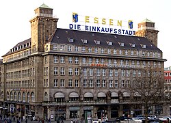
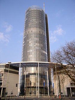
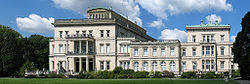
Ing Essen (Pangayagkas a Aleman:[ˈɛsən])metung yang lakanbalen king kalibudtaran dake ning Ruhr Karinan king North Rhine-Westphalia, Aleman. Atiu king Ilug Ruhr, ing kayang populasiun a mga 579,000 (agpang inyang Junio 30, 2008) gagawan neng pang7 o pang8 pekamaragul diling lakanbalen king Aleman.
Dalerayan
[mag-edit | alilan ya ing pikuwanan]- Most sections of this article are translations from the German Wikipedia. The versions used can be found under the following three links: , and . The original authors of the German language version can be found here
Footnotes
[mag-edit | alilan ya ing pikuwanan]Suglung Palual
[mag-edit | alilan ya ing pikuwanan]
- Official city website
- Essen, 2010 European Capital of Culture Guide Archived Marsu 8, 2010 at the Wayback Machine
- Essen City Panoramas — Panoramic Views and virtual Tours
- Pictures from Kettwig
- World Cities Images. Germany. Essen Archived Juliu 18, 2011 at the Wayback Machine
- Memorials in Essen at sites-of-memory.de
- ConRuhr - Academic Liaison Office for Universities of Duisburg-Essen, Dortmund, Bochum Archived Juniu 27, 2011 at the Wayback Machine
| Articles Related to Essen | ||||||||||||||
|---|---|---|---|---|---|---|---|---|---|---|---|---|---|---|
Template:Essen boroughs Template:European Capital of Culture Template:Germany districts north rhine-westphalia Template:World's most populated urban areas | ||||||||||||||