
We are in the process of migrating all NASA Earth science data sites into Earthdata from now until end of 2026. Not all NASA Earth science data and resources will appear here until then. Thank you for your patience as we make this transition.
Read about the Web Unification Project
Explore NASA Earth Data
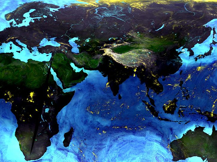
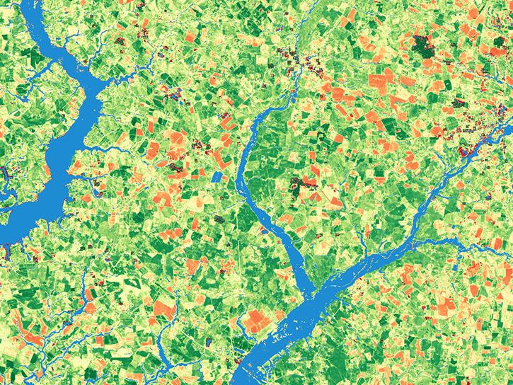
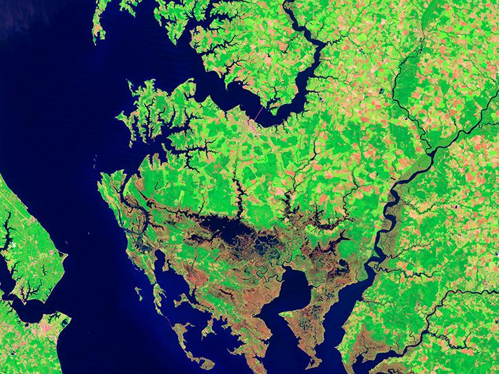
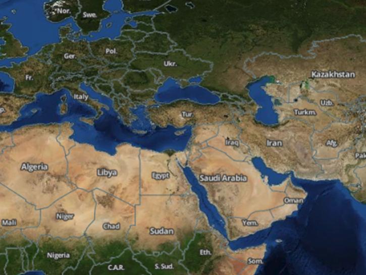
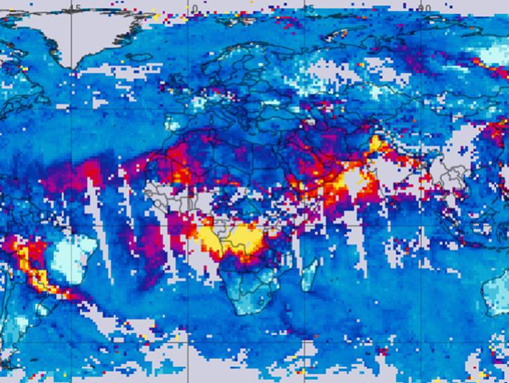
Our data span the breadth of Earth science disciplines and cover even the most remote areas of the planet, providing measurements of Earth’s atmosphere, ocean, land, and cryosphere; assessments about how humans interact with the environment; and assessments of calibrated radiance and solar radiance. These measurements help us better understand climate change, severe weather, sea ice and glaciers, hazards and disasters, health and air quality, ecology, and water resources.
Get Started
Are you new to NASA Earth science data and need a boost? Check out all of our learn resources.
Observation Methods
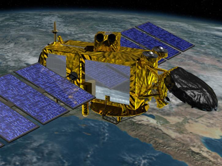
NASA operates state-of-the-art platforms that collect critical information about our home planet. Drill down to the data and tools you need by exploring platforms on Earth and in the sky.
From the ground and into space, instruments aboard NASA platforms collect a vast array of Earth science data.
Data provided by space geodesy techniques are used to support scientific and societal applications in areas such as Earth observations, positioning, navigation, and timing.
Featured Projects
NASA's Jason-1 Microwave Radiometer measures atmospheric water vapor content to determine how water vapor impacts radar signal propagation.
The Harmonized Landsat and Sentinel-2 (HLS) project generates global land surface reflectance data every 1.6 days at 30 meter resolution.
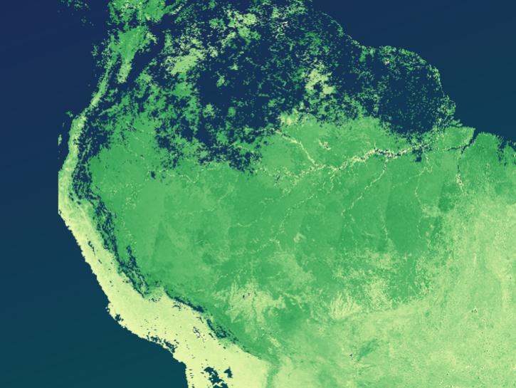
GEDI uses lidar to study the height and structure of forests and other plant biomass in order to better monitor and understand the carbon cycle, habitats, and biodiversity amid changing climate and land use patterns.
The Sustainable Development Goal Indicators (SDGI) collection of globally consistent, regularly updated, operational datasets can help monitor sustainable development goal progress.
Join Our Community of NASA Data Users
While NASA data are openly available without restriction, an Earthdata Login is required to download data and to use some tools with full functionality.
Learn About the Benefits of Earthdata LoginFeatured Data Tools
Access a range of data-handling and service tools that provide a means for data discovery, search, and analysis.
Earthdata Search enables data discovery, search, comparison, visualization, and access across NASA’s Earth science data holdings.
Worldview offers the capability to interactively browse over 1,200 global, full-resolution satellite imagery layers and download the underlying data.
Vertex is a graphical search interface for finding synthetic aperture radar (SAR) data.
Giovanni is a web application for accessing, visualizing, and analyzing Earth science remote sensing data without downloading the data.
The The Application for Extracting and Exploring Analysis Ready Samples (AppEEARS) offers users a simple and efficient way to perform data access and transformation processes.
NASA's Visualization, Exploration, and Data Analysis (VEDA) project is an open-source science cyberinfrastructure for data processing, visualization, exploration, and geographic information systems (GIS) capabilities.
The Catalog of Archived Suborbital Earth Science Investigations (CASEI) is a comprehensive inventory of contextual information for NASA's Earth Science airborne and field campaigns.
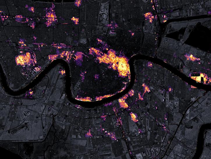
The Fire Information for Resource Management System (FIRMS) provides access to satellite imagery, active fire/hotspots, and related products to identify the location, extent, and intensity of wildfire activity.
Earthdata Developer Portal
Access Data
by API
Earthdata provides a variety of application programming interfaces (APIs) to search, access, and browse NASA Earth science data from the command line.
Explore APIsFrequently Asked Questions
Earthdata Forum
Our online forum provides a space for users to browse thousands of FAQs about research needs, data, and data applications. You can also submit new questions for our experts to answer.
Submit Questions to Earthdata Forumand View Expert Responses