| Locality | Latitude | Longitude | Distance | Bearing |
|---|
| Manod Quarry (Manod New Setts Quarry), Ffestiniog, Gwynedd, Wales, UK | 52° 59' 7" N | 3° 55' 34" W | 3.1km (1.9 miles) |
| Drum Slate Quarry, Ffestiniog, Gwynedd, Wales, UK | 52° 58' 9" N | 3° 53' 7" W | 3.3km (2.0 miles) |
| Ffestiniog Granite Quarry, Ffestiniog, Gwynedd, Wales, UK | 52° 59' 18" N | 3° 56' 45" W | 3.6km (2.2 miles) |
| Tanygrisiau Railway Station, Tanygrisiau, Ffestiniog, Gwynedd, Wales, UK | 52° 59' 9" N | 3° 57' 38" W | 3.7km (2.3 miles) |
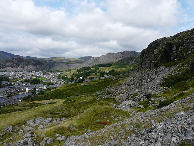
| Tanygrisiau, Ffestiniog, Gwynedd, Wales, UK | 52° 59' 15" N | 3° 57' 25" W | 3.8km (2.4 miles) |
| Foel-gron Slate Mine, Ffestiniog, Gwynedd, Wales, UK | 52° 58' 6" N | 3° 52' 16" W | 4.1km (2.6 miles) |
| Graig Ddu Slate Quarry, Ffestiniog, Gwynedd, Wales, UK | 52° 59' 31" N | 3° 53' 59" W | 4.4km (2.7 miles) |
| Diffwys Casson Slate Quarry, Ffestiniog, Gwynedd, Wales, UK | 52° 59' 51" N | 3° 55' 18" W | 4.5km (2.8 miles) |
| Wrysgan Slate Mine, Ffestiniog, Gwynedd, Wales, UK | 52° 59' 27" N | 3° 58' 13" W | 4.6km (2.9 miles) |
| Croes y Ddwyafon Quarry, Ffestiniog, Gwynedd, Wales, UK | 52° 57' 48" N | 3° 51' 44" W | 4.6km (2.9 miles) |
| Votty and Bowydd Quarry, Ffestiniog, Gwynedd, Wales, UK | 52° 59' 56" N | 3° 55' 31" W | 4.6km (2.9 miles) |
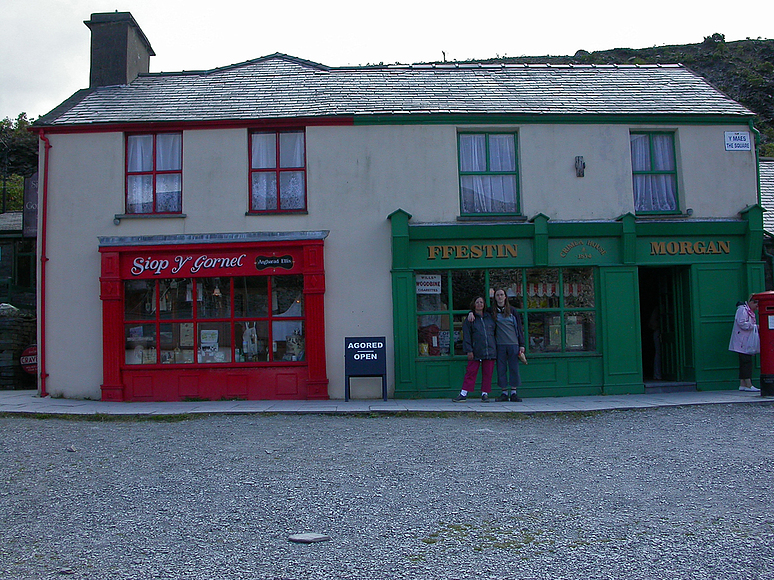
| Ffestiniog, Gwynedd, Wales, UK | 52° 59' 54" N | 3° 56' 41" W | 4.6km (2.9 miles) |
| Maenofferen Slate Quarry, Ffestiniog, Gwynedd, Wales, UK | 53° 0' 0" N | 3° 55' 17" W | 4.8km (3.0 miles) |
| Cwmorthin Quarry, Tanygrisiau, Ffestiniog, Gwynedd, Wales, UK | 52° 59' 49" N | 3° 57' 56" W | 5.0km (3.1 miles) |
| Gloddfa Ganol Quarry (Oakley), Ffestiniog, Gwynedd, Wales, UK | 53° 0' 7" N | 3° 56' 52" W | 5.1km (3.2 miles) |
| Prince Edward Mine (Moel Croesau), Trawsfynydd, Gwynedd, Wales, UK | 52° 55' 43" N | 3° 52' 12" W | 5.1km (3.2 miles) |
| Rhosydd Quarry East Twll, Ffestiniog, Gwynedd, Wales, UK | 52° 59' 20" N | 3° 59' 16" W | 5.2km (3.2 miles) |
| Rhosydd Quarry West Twll, Ffestiniog, Gwynedd, Wales, UK | 52° 59' 17" N | 3° 59' 23" W | 5.2km (3.3 miles) |
| Blaen-y-cwm Quarry, Bro Machno, Conwy, Wales, UK | 52° 59' 49" N | 3° 53' 11" W | 5.3km (3.3 miles) |
| Llechwedd slate quarry, Ffestiniog, Gwynedd, Wales, UK | 53° 0' 17" N | 3° 56' 22" W | 5.3km (3.3 miles) |
| Ffestiniog Slate Quarry, Ffestiniog, Gwynedd, Wales, UK | 53° 0' 21" N | 3° 57' 4" W | 5.6km (3.5 miles) |
| Rhiwbach Slate Quarry, Bro Machno, Conwy, Wales, UK | 52° 59' 48" N | 3° 52' 35" W | 5.7km (3.5 miles) |
| Pant-mawr Slates Mines, Llanfrothen, Gwynedd, Wales, UK | 52° 58' 54" N | 4° 0' 20" W | 5.7km (3.6 miles) |
| Cwt y Bugail Quarry, Bro Machno, Conwy, Wales, UK | 53° 0' 10" N | 3° 53' 15" W | 5.8km (3.6 miles) |
| Rhosydd Quarry, Ffestiniog, Gwynedd, Wales, UK | 52° 59' 51" N | 3° 59' 18" W | 5.9km (3.7 miles) |
| Conglog Slate Quarry, Ffestiniog, Gwynedd, Wales, UK | 53° 0' 0" N | 3° 59' 5" W | 6.0km (3.7 miles) |
| Croesor Quarry, Llanfrothen, Gwynedd, Wales, UK | 52° 59' 28" N | 4° 0' 4" W | 6.1km (3.8 miles) |
| Cwm-machno Quarries, Bro Machno, Conwy, Wales, UK | 53° 0' 19" N | 3° 51' 43" W | 7.0km (4.4 miles) |
| Catherine and Jane Consols, Maentwrog, Gwynedd, Wales, UK | 52° 56' 58" N | 4° 2' 5" W | 7.1km (4.4 miles) |
| Bwlch y Plym Mine, Llanfrothen, Gwynedd, Wales, UK | 52° 57' 10" N | 4° 2' 38" W | 7.6km (4.7 miles) |
