
GeoDude
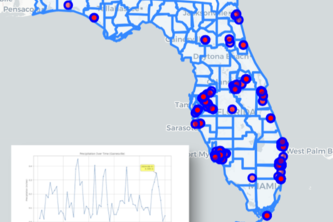
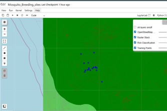
GeoDude analyzes 43K+ mosquito observations with AI-powered insights. Interactive mapping + geospatial analysis reveals environmental patterns driving disease prevention.
Epidemiological Vector Mapping System (EVMS)
This project visualizes and analyzes the relationship between environmental factors & mosquito habitat distribution across India. We aim to provide public health solutions and spread global awareness.
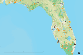
Filed Track Data Collection for Mosquito Habitat
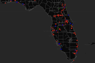
We collected Mosquito habitat data around University of Florida campus.
App Improvement Brief
An app improvement brief for the NASA GLOBE Observer citizen science application
GLOBE Observer, Simplified (App Improvement Track)
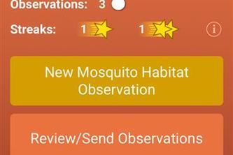
GLOBE Observer is a citizen science app, but impact depends on ease of use. We redesigned it to be simpler and more accessible, helping more people submit accurate observations and strengthen data.
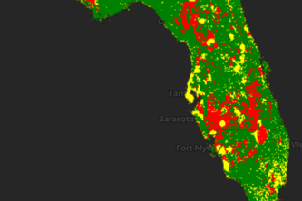
Intermediate: Mosquito Risk Mapping
Our analysis presents risk as a spatial variable combining both the environmental variables of vegetation, precipitation, and land surface temperature and distance to hospitals.
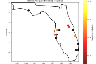
Bias and Uncertainty in Reported Mosquito Habitat Data
“How accurately can we predict mosquito breeding risk and what can we do reduce sampling bias?”
1 – 13 of 13